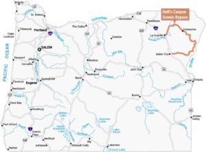
Mogollon Rim Map
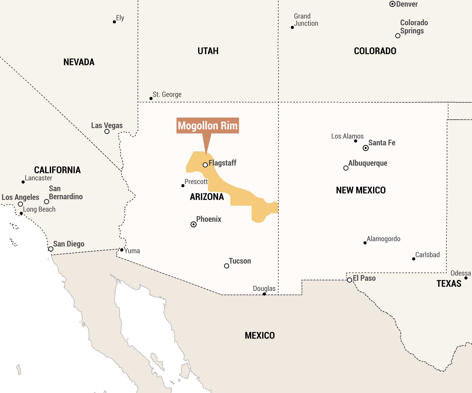
Our map highlights the Mogollon Rim in orange, an escarpment running through central Arizona. We included surrounding states and nearby cities for context.
Map Information
On the Map
Main Feature: Mogollon Rim (central Arizona, running roughly from near Flagstaff southeast toward the New Mexico border) Cities Within or Adjacent to the Mogollon Rim: Flagstaff, Prescott, Phoenix States: Arizona, California, Nevada, Utah, Colorado, New Mexico, Texas Surrounding Cities/Towns: Lancaster, Los Angeles, San Bernardino, Long Beach, San Diego, Las Vegas, Ely, St. George, Grand Junction, Denver, Colorado Springs, Santa Fe, Los Alamos, Albuquerque, Alamogordo, Carlsbad, El Paso, Odessa, Tucson, Yuma, Douglas Other Countries: MexicoReferences
Natural Region Maps
Geographic landforms, wilderness zones, deserts, mountain ranges, and terrain.