Pacific Coast Map
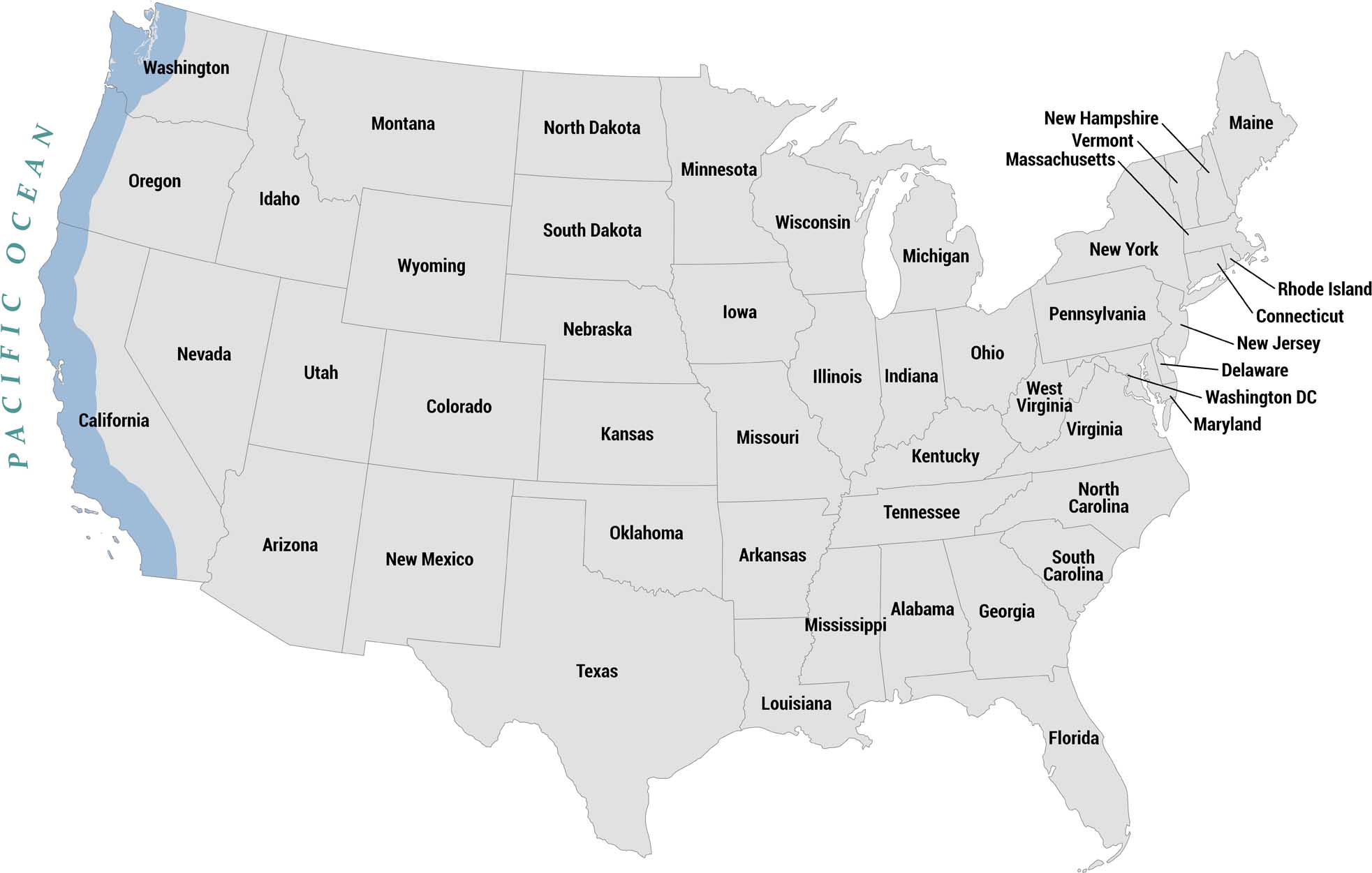
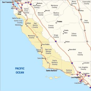
The Pacific Coast stretches from Washington in the north down through Oregon to California in the south. It forms the entire western seaboard of the country. Our map highlights the Pacific Coast states shaded in blue along the western edge with the Pacific Ocean labeled to the left.
Map Information
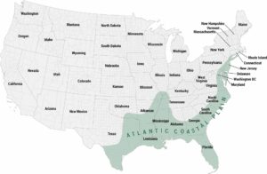
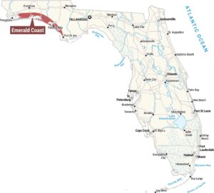
Coastal Region Maps
All coastal landscapes, maritime cultures, beaches, and islands.
Hi Liz. Please feel free to download and print it out locally. We don’t charge any money to buy this map.
how and where do I buy this map? (pacific coast)