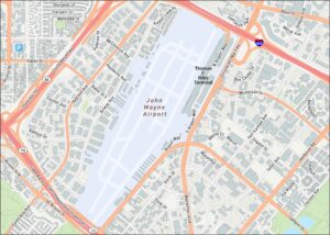
San Francisco International Airport Map
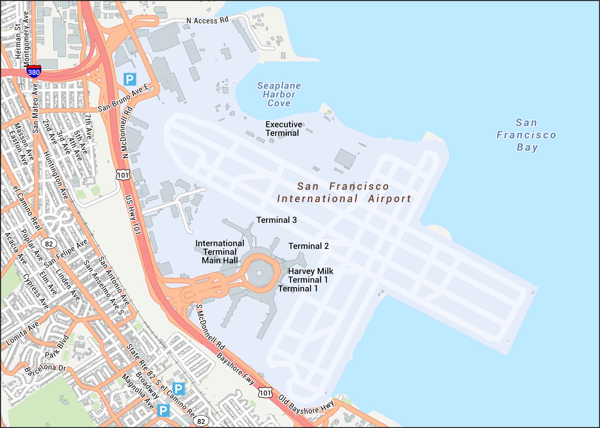
Our map of San Francisco International Airport highlights all four terminals and major access roads like Highway 101 and I-380. SFO sits at the edge of San Francisco Bay, just south of downtown.
Map Information
On the Map
Interstates/Highways: I-380, US Hwy 101, State Rte 82, Bayshore Hwy Major Roads: McDonnell Rd, San Bruno Ave E, El Camino Real, San Mateo Ave, Huntington Ave, Broadway, S Linden Ave, San Felipe Ave, San Antonio Ave, San Anselmo Ave S, 7th Ave, 5th Ave, 4th Ave, 3rd Ave, 2nd Ave, N Access Rd, Old Bayshore Hwy, Magnolia Ave, Palm Blvd Rivers/Lakes: San Francisco Bay, Seaplane Harbor Cove Other Landmarks: International Terminal Main Hall, Terminal 1, Harvey Milk Terminal 1, Terminal 2, Terminal 3, Executive TerminalTourist Maps in California
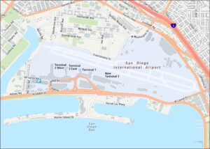
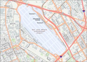
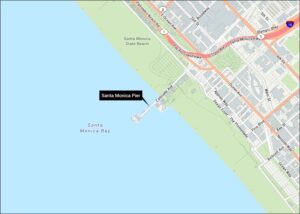
Discover all the prime locations with our tourist maps.