San Diego Airport Map
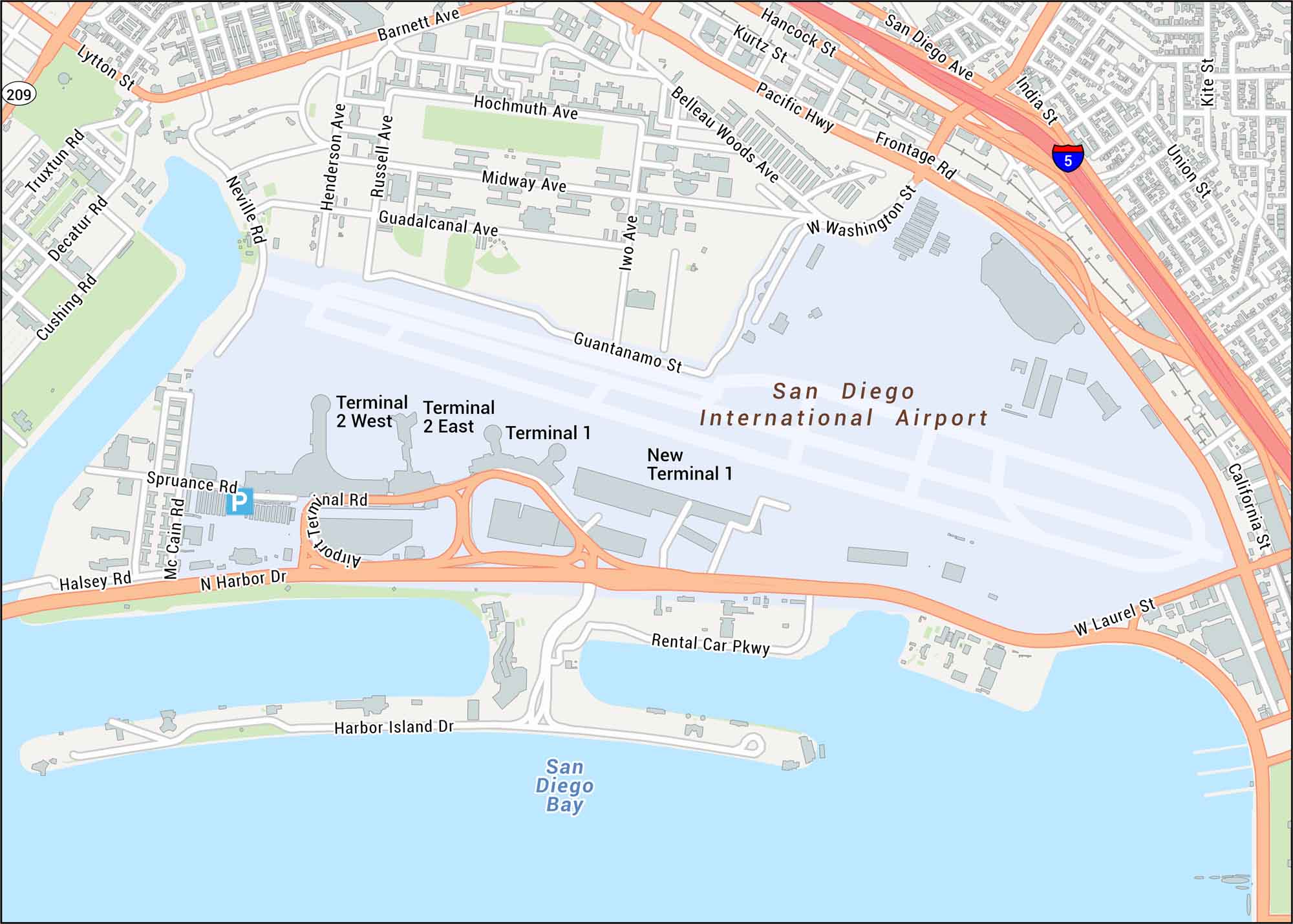
Get to know San Diego International Airport with our detailed map. It shows Terminal 1, Terminal 2, and the connecting roadways along Harbor Drive. San Diego International is famously one of the busiest single-runway airports in the United States.
Map Information
On the Map
Interstates/Highways: I-5, State Rte 209, Pacific Hwy Major Roads: N Harbor Dr, Washington St, India St, Laurel St, Lytton St, Barnett Ave, Hancock St, Kurtz St, Airport Terminals Rd, Rental Car Pkwy, Harbor Island Dr, Midway Ave, Guadalcanal Ave, Truxtun Rd, Rosecrans St, Henderson Ave, Russell Ave, Neville Rd, Spruance Rd Rivers/Lakes: San Diego Bay Other Landmarks: Terminal 1, New Terminal 1, Terminal 2 East, Terminal 2 WestTourist Maps in California
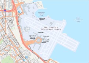
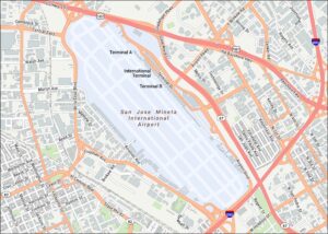
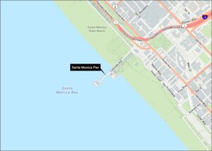
Discover all the prime locations with our tourist maps.