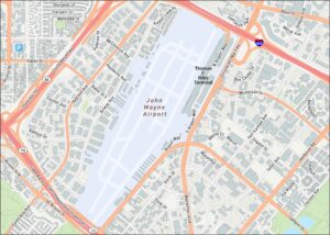
Long Beach Airport Map
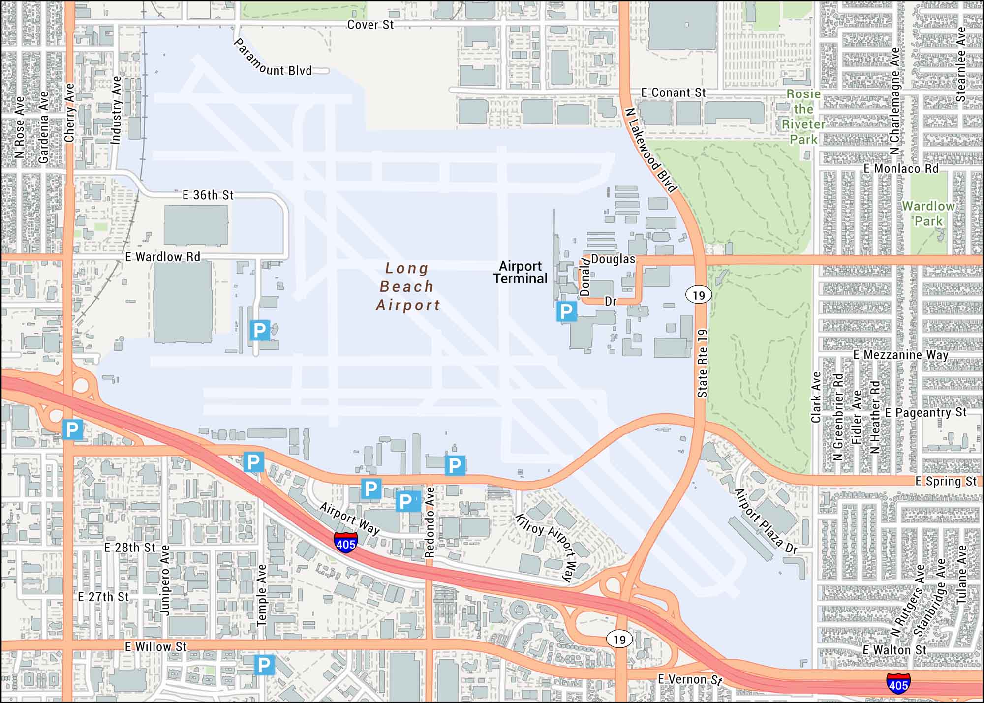
Long Beach Airport is shown with its compact terminal, runways, and nearby streets. Our map captures the simple layout, which serves this seaside city.
Map Information
On the Map
Interstates/Highways: I-405, State Rte 19 Major Roads: Lakewood Blvd, Spring St, Willow St, Wardlow Rd, Cherry Ave, Airport Way, Redondo Ave, Conant St, 36th St, 28th St, 27th St, Paramount Blvd, Industry Ave, Gardenia Ave, Rose Ave, Clark Ave, Stearnlee Ave, Charlemagne Ave, Monlaco Rd, Mezzanine Way Parks/Forests: Rosie the Riveter Park, Wardlow Park Other Landmarks: Airport TerminalTourist Maps in California
Discover all the prime locations with our tourist maps.