San Juan Islands Map
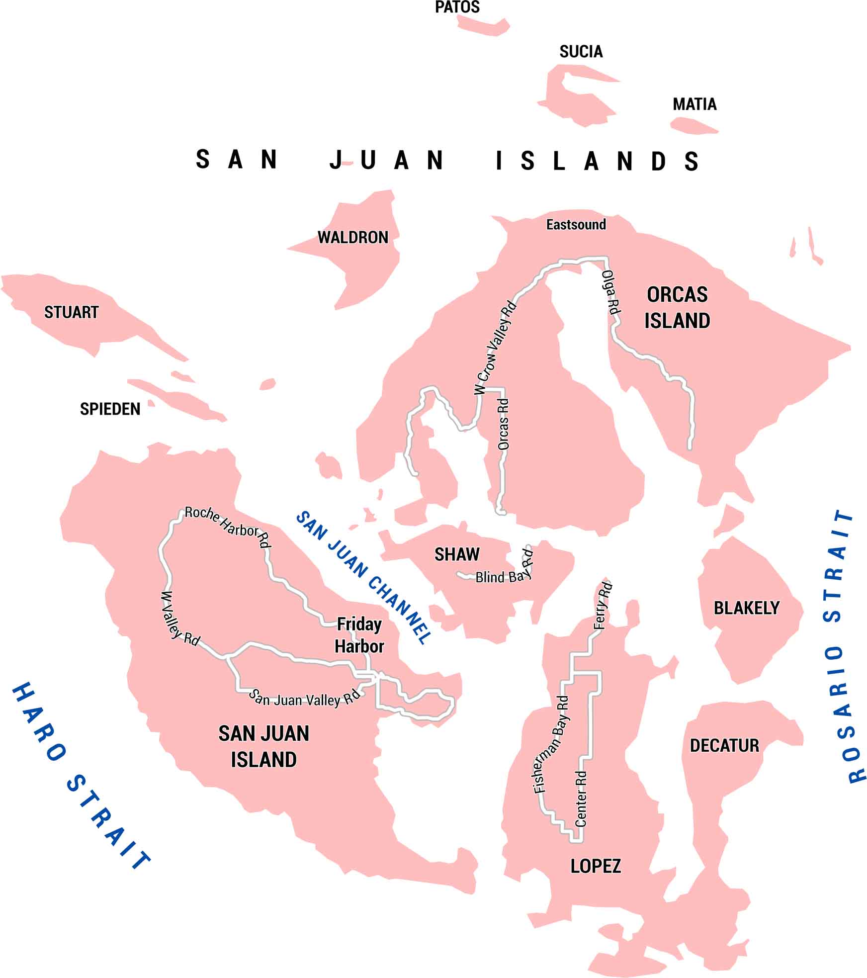
This map shows San Juan Island in Washington State, including its roads, channels, and communities. You can spot Friday Harbor, San Juan Channel and the island’s winding coastal routes. It’s a small place with big views of water in every direction.
Map Information
On the Map
Islands: Blakely, Decatur, Lopez, Matia, Orcas Island, Patos, San Juan Island, Shaw, Spieden, Stuart, Sucia, Waldron Towns & Areas: Eastsound, Friday Harbor, Roche Harbor Bodies of Water: Haro Strait, Rosario Strait, San Juan Channel Major Roads: Blind Bay, Center Rd, Ferry Rd, Fisherman Bay Rd, Olga Rd, Orcas Rd, Roche Harbor Rd, San Juan Valley Rd, W Crow Valley Rd, W Valley RdCoastal Region Maps
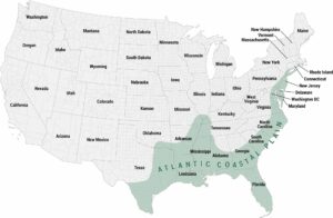
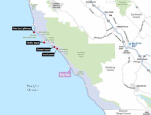
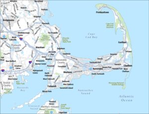
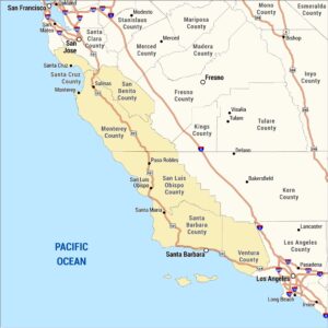
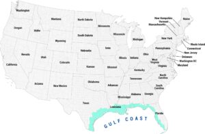
All coastal landscapes, maritime cultures, beaches, and islands.