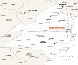
Virginia Tidewater Map
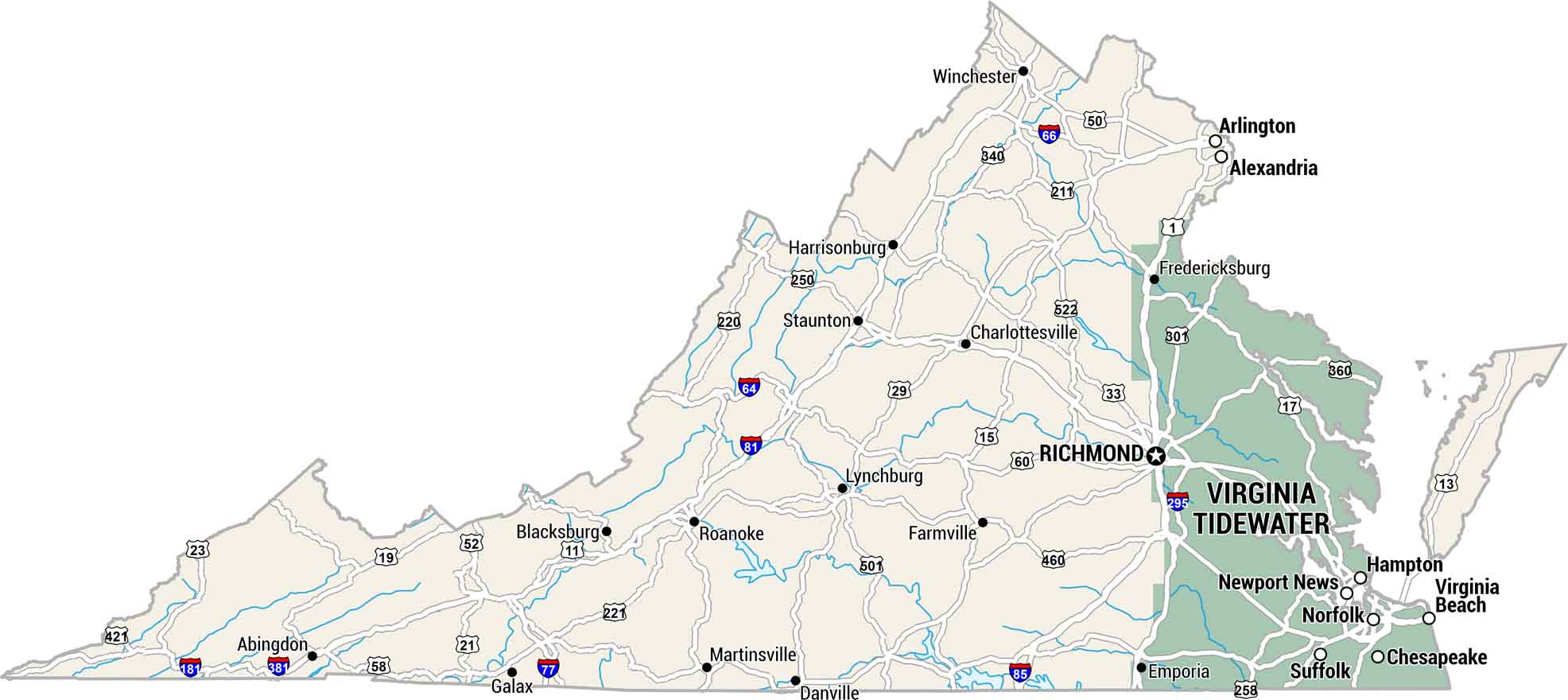
Virginia’s Tidewater region sits low and flat. It’s where rivers meet the Chesapeake Bay on the eastern side. Our map of the Virginia Tidewater shows this landscape built on water, history, and salt air.
Map Information
On the Map
Virginia Tidewater (Green Region)
These cities are located within the highlighted coastal area.- Cities: Chesapeake, Hampton, Newport News, Norfolk, Suffolk, Virginia Beach
- Region: Virginia Tidewater
Other Virginia Regions (Gray Region)
These cities and towns are located throughout the rest of the state.- Cities/Towns: Abingdon, Alexandria, Arlington, Blacksburg, Charlottesville, Danville, Emporia, Farmville, Fredericksburg, Galax, Harrisonburg, Lynchburg, Martinsville, Richmond, Roanoke, Staunton, Winchester
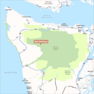
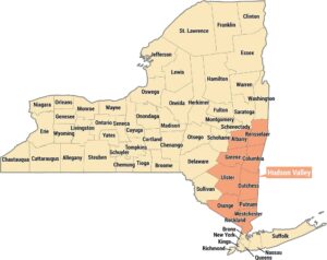
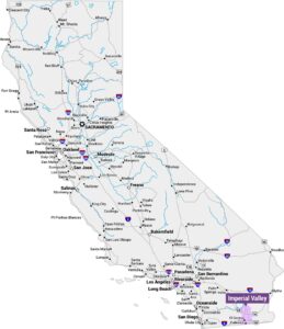
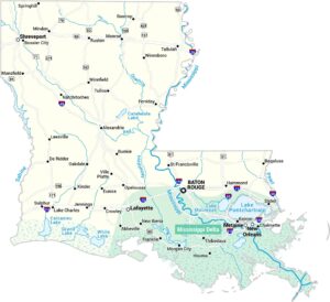
Natural Region Maps
Geographic landforms, wilderness zones, deserts, mountain ranges, and terrain.