Downtown Boston Map
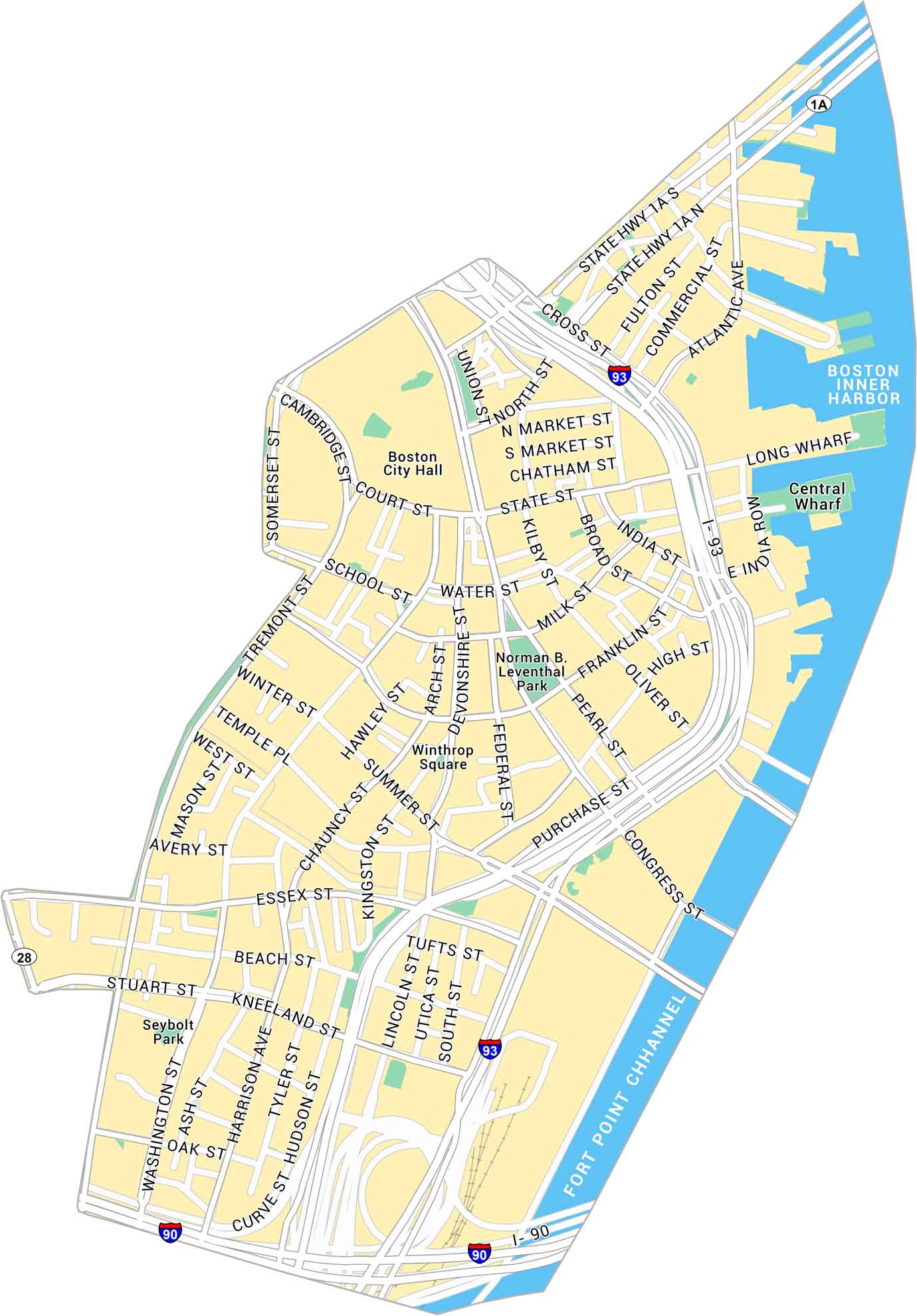
See how Downtown Boston fits together with this detailed map. It covers historic streets, waterfront areas, and local parks, along with nearby highways and major routes.
Map Information
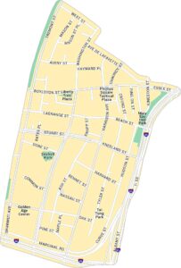
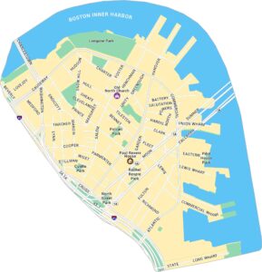
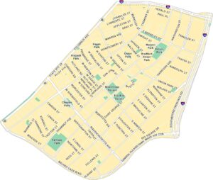
Boston Neighborhood Maps
See our neighborhood maps for a closer look of the city.
On the Map
Interstates/Highways: I-93, I-90, US Hwy 1A Major Roads: Congress St, Atlantic Ave, State St, Tremont St, Washington St, Cambridge St, Court St, School St, Beacon St, Kneeland St, Essex St, Stuart St, Purchase St, High St, Franklin St, Milk St, Water St, Broad St, Devonshire St, Summer St Harbors/Channels: Boston Inner Harbor, Fort Point Channel Parks: Norman B. Leventhal Park, Winthrop Square, Seybolt Park Landmarks: Boston City Hall, Long Wharf, Central WharfCity Maps of Massachusetts
Explore Boston and other urban areas in Massachusetts


