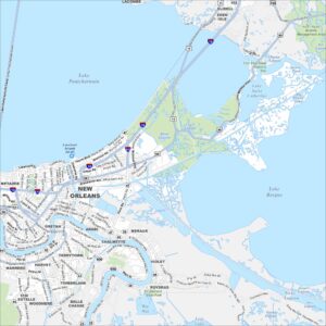
Downtown New Orleans Map
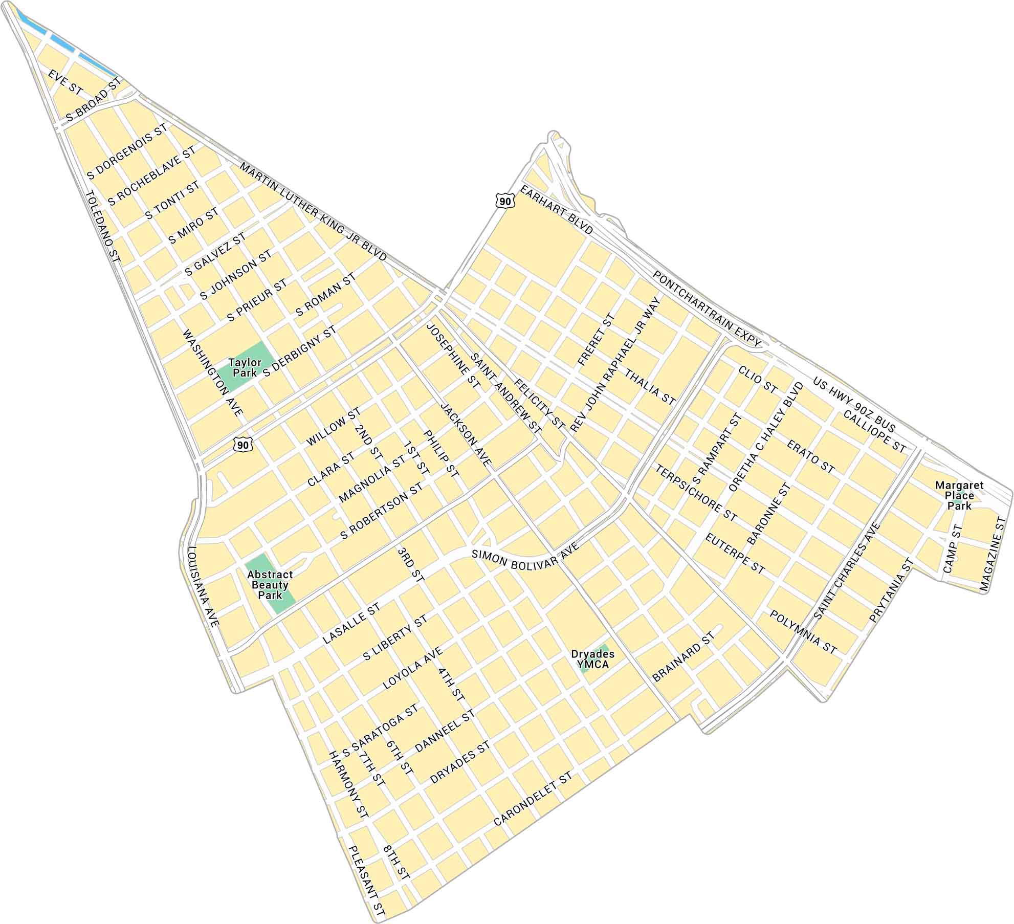
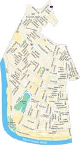
Downtown New Orleans sits between the Mississippi River and the French Quarter. Our map shows its main streets, plazas, and parks. This neighborhood is a busy core with history and music.
Map Information
New Orleans Neighborhood Maps
See our neighborhood maps for a closer look of the city.
On the Map
Interstates/Highways: I-10, US Hwy 90 Major Roads: Canal St, Poydras St, Loyola Ave, Tulane Ave, Saint Charles Ave, Rampart St, Common St, Gravier St, Union St, Perdido St, O’Keefe Ave, Baronne St, Carondelet St, Camp St, Magazine St, Tchoupitoulas St, Peters St, Convention Center Blvd, Earhart Blvd, Calliope St Rivers: Mississippi River Parks: Duncan Plaza, Lafayette Square, Harmony Circle Landmarks: Caesars Superdome, Smoothie King CenterCity Maps of Louisiana
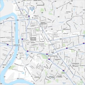
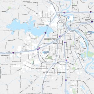
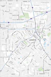
Explore New Orleans and Louisiana’s urban centers with our city maps