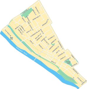
Fairmount Map, Philadelphia
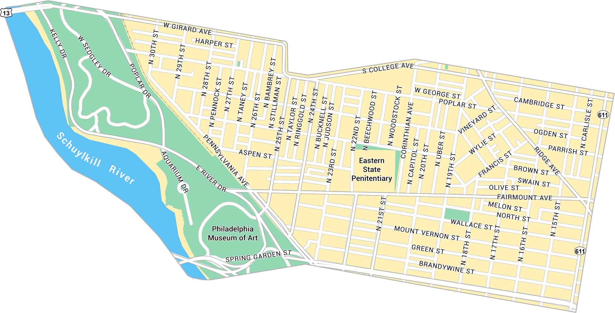
Our map of Fairmount shows the neighborhood stretching along the Schuylkill River. It includes the Philadelphia Museum of Art, Kelly Drive, and nearby green spaces. It’s a scenic area that ties the city to the water.
Map Information
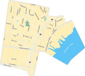
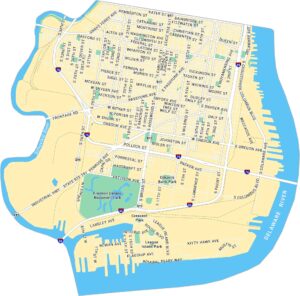
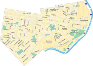
Philadelphia Neighborhood Maps
See our neighborhood maps for a closer look of the city.
On the Map
Major Roads: Pennsylvania Ave, Girard Ave, Fairmount Ave, Spring Garden St, Ridge Ave, 22nd St, 25th St, College Ave, Poplar St, Brown St, Green St, Wallace St, Corinthian Ave, 19th St, 17th St, 30th St, Aspen St, Mount Vernon St, Brandywine St, North St Major Rivers: Schuylkill River Landmarks: Philadelphia Museum of Art, Eastern State PenitentiaryCity Maps of Pennsylvania
Here is our city map collection for all of Pennsylvania.


