Downtown Philadelphia Map
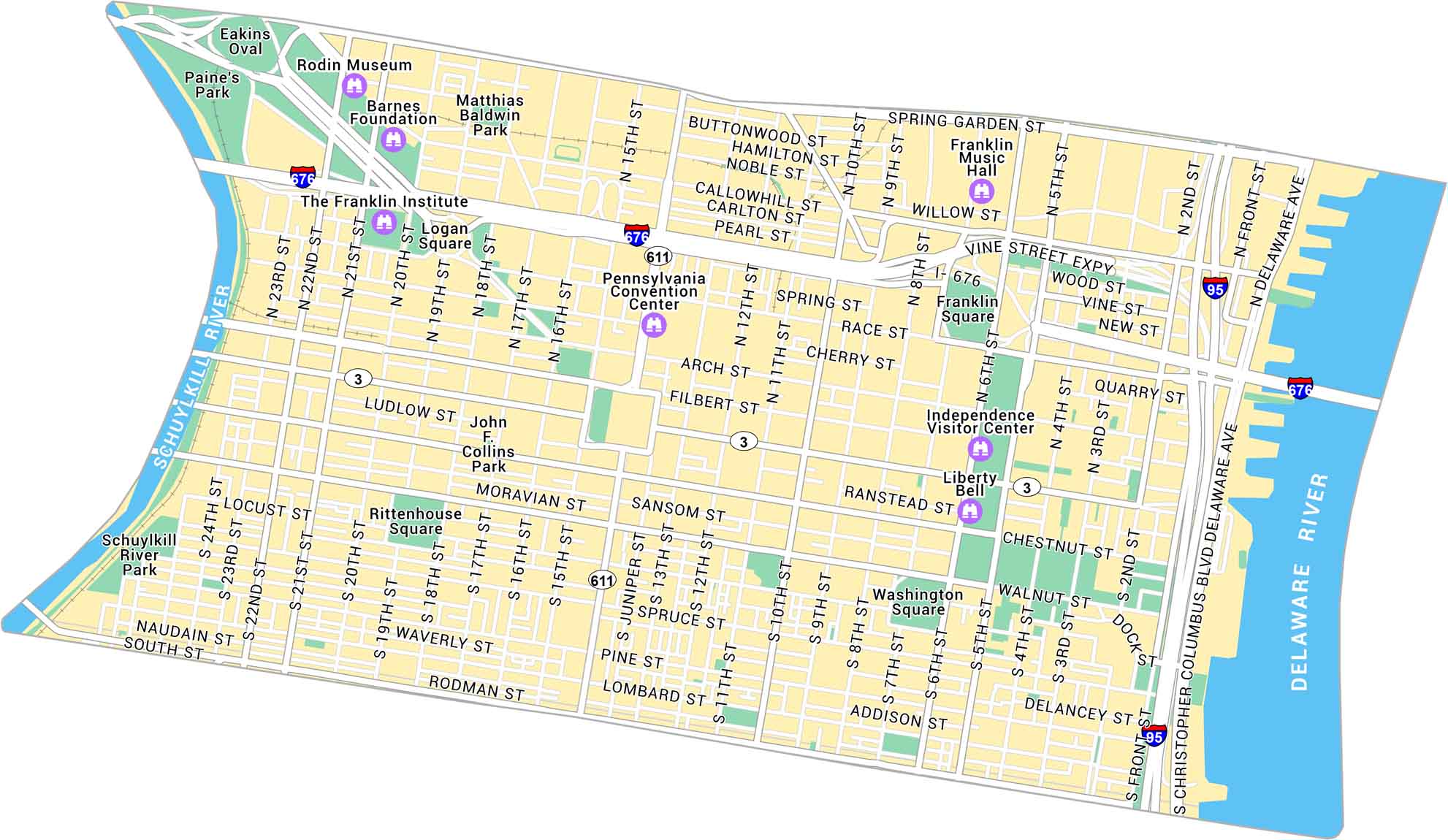
Explore Downtown Philadelphia with our map, covering the stretch between the Schuylkill and Delaware Rivers. It shows main streets, city squares, and major landmarks.
Map Information
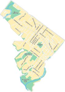
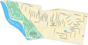
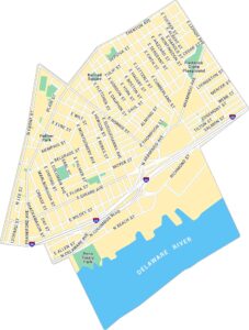
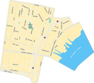
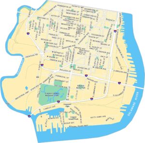
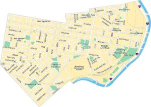
Philadelphia Neighborhood Maps
See our neighborhood maps for a closer look of the city.
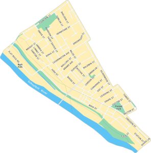
On the Map
Interstates/Highways: I-676, I-95 Major Roads: Broad St, Market St, JFK Blvd, Christopher Columbus Blvd, Arch St, Chestnut St, Walnut St, Pine St, Spruce St, Lombard St, South St, Spring Garden St, Vine St, Race St, Locust St, Sansom St, 22nd St, 15th St, 10th St, 5th St Major Rivers: Schuylkill River, Delaware River Parks: Paine’s Park, Schuylkill River Park, John F. Collins Park, Matthias Baldwin Park, Logan Square, Rittenhouse Square, Washington Square, Franklin Square Landmarks: Independence Visitor Center, Liberty Bell, Pennsylvania Convention Center, Franklin Institute, Rodin Museum, Barnes Foundation, Eakins Oval, Franklin Music HallCity Maps of Pennsylvania
Here is our city map collection for all of Pennsylvania.


