South Philadelphia Map
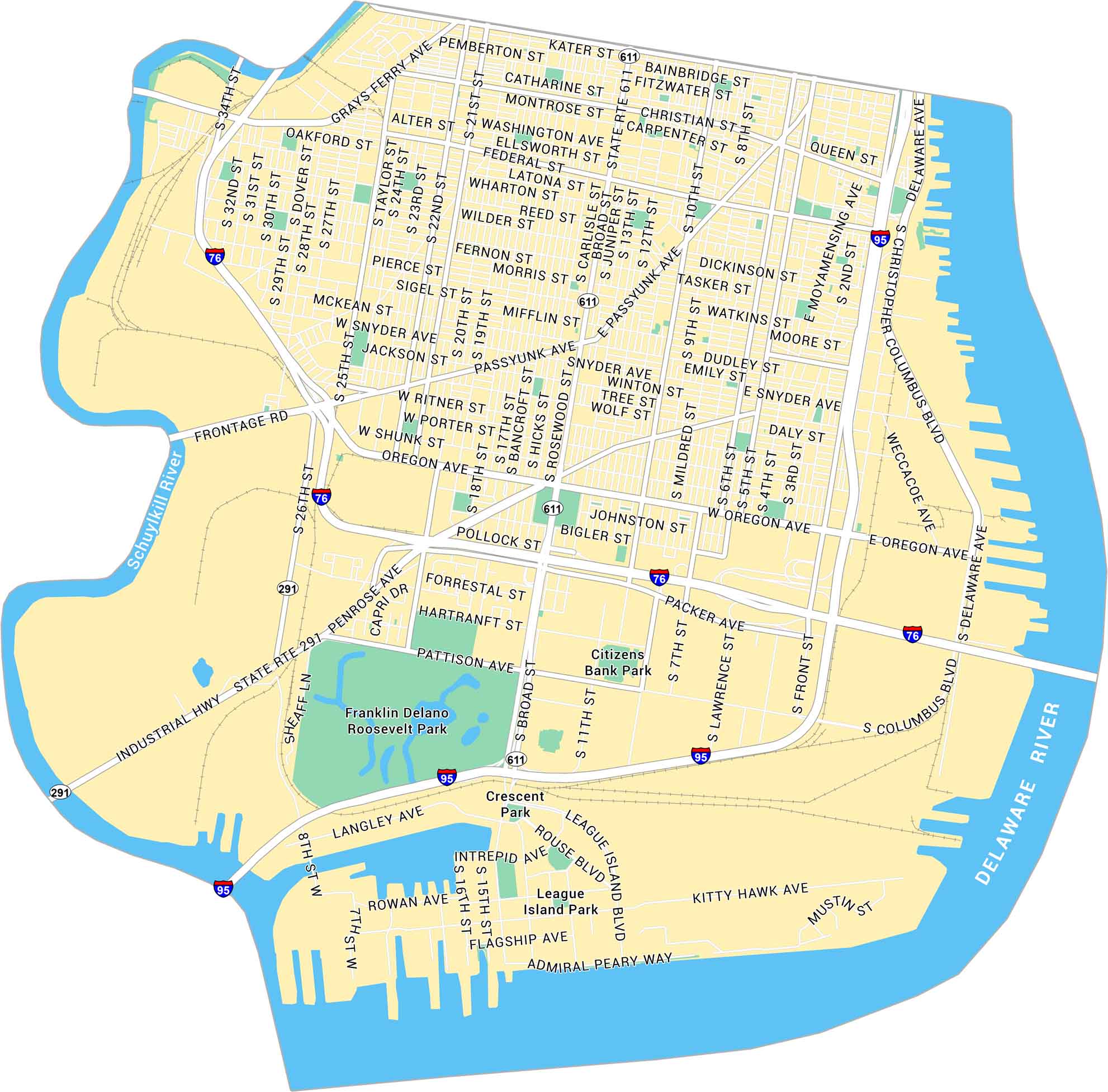
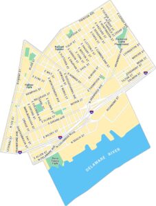
Our map of South Philadelphia lays out the stretch between the Delaware and Schuylkill Rivers. You’ll spot dense city blocks, old neighborhoods, and Citizens Bank Park. It’s a proud corner of the city that’s full of heart.
Map Information
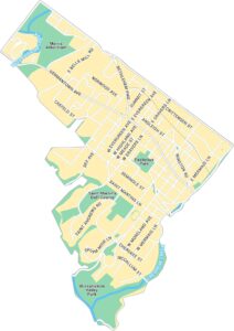
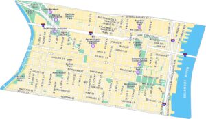
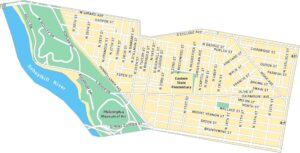
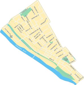
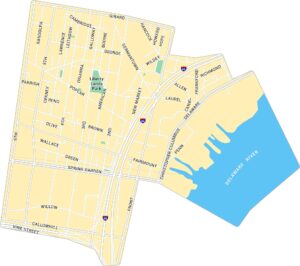
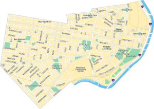
Philadelphia Neighborhood Maps
See our neighborhood maps for a closer look of the city.
On the Map
Interstates/Highways: I-95, I-76 Major Roads: Broad St, Oregon Ave, Passyunk Ave, Washington Ave, Christopher Columbus Blvd, Penrose Ave, 22nd St, 25th St, Snyder Ave, Moyamensing Ave, Front St, 11th St, 7th St, Pattison Ave, Packer Ave, Johnston St, Reed St, Tasker St, Morris St, Christian St Major Rivers: Schuylkill River, Delaware River Parks: Franklin Delano Roosevelt Park, Citizens Bank Park, League Island Park, Crescent ParkCity Maps of Pennsylvania
Here is our city map collection for all of Pennsylvania.


