Fishtown Map, Philadelphia
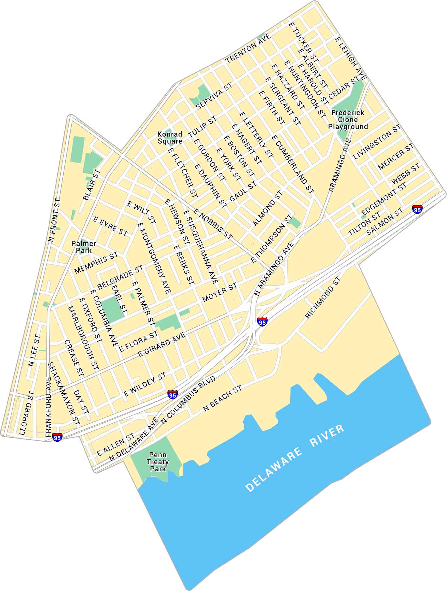
Our map of Fishtown shows the riverside neighborhood northeast of downtown Philadelphia. It lays out the narrow streets, parks, and main routes that cut through the area.
Map Information
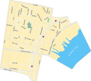
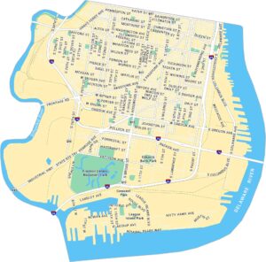
Philadelphia Neighborhood Maps
See our neighborhood maps for a closer look of the city.
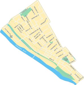
On the Map
Interstates/Highways: I-95 Major Roads: Girard Ave, Delaware Ave, Frankford Ave, Christopher Columbus Blvd, Aramingo Ave, Front St, Richmond St, Lehigh Ave, York St, Norris St, Berks St, Montgomery Ave, Columbia Ave, Palmer St, Shackamaxon St, Thompson St, Belgrade St, Memphis St, Tulip St, Trenton Ave Major Rivers: Delaware River Parks: Penn Treaty Park, Palmer Park, Konrad Square, Frederick Cione PlaygroundCity Maps of Pennsylvania
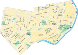
Here is our city map collection for all of Pennsylvania.


