Houston Heights Map
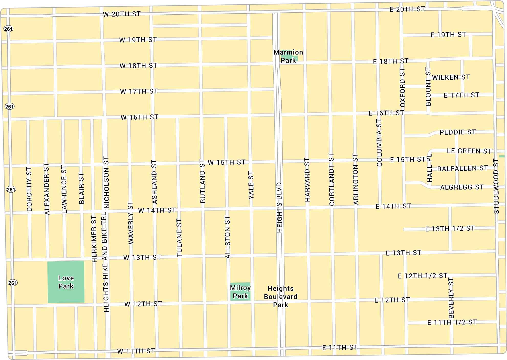
Houston Heights rises just above downtown with a bit of a small-town feel. Our map lays out its green corners and main routes through the neighborhood.
Map Information
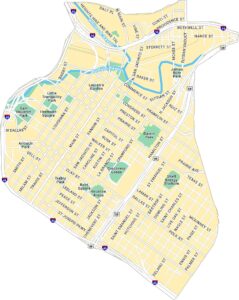
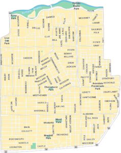
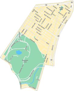
Houston Neighborhood Maps
See our neighborhood maps for a closer look of the city.
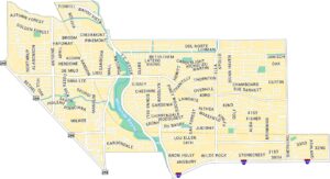
On the Map
Interstates/Highways: State Rte 261 Major Roads: Heights Blvd, Yale St, 20th St, 19th St, 11th St, 14th St, 15th St, 18th St, 17th St, 16th St, 12th St, 13th St, Studewood St, Shepherd Dr, Lawrence St, Ashland St, Rutland St, Harvard St, Cortlandt St, Arlington St Parks: Marmion Park, Love Park, Milroy Park, Heights Boulevard ParkCity Maps of Texas
Explore our map collection of Texas cities.


