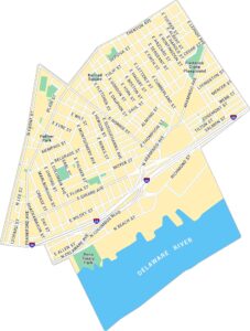
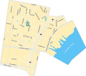
Manayunk Map, Philadelphia
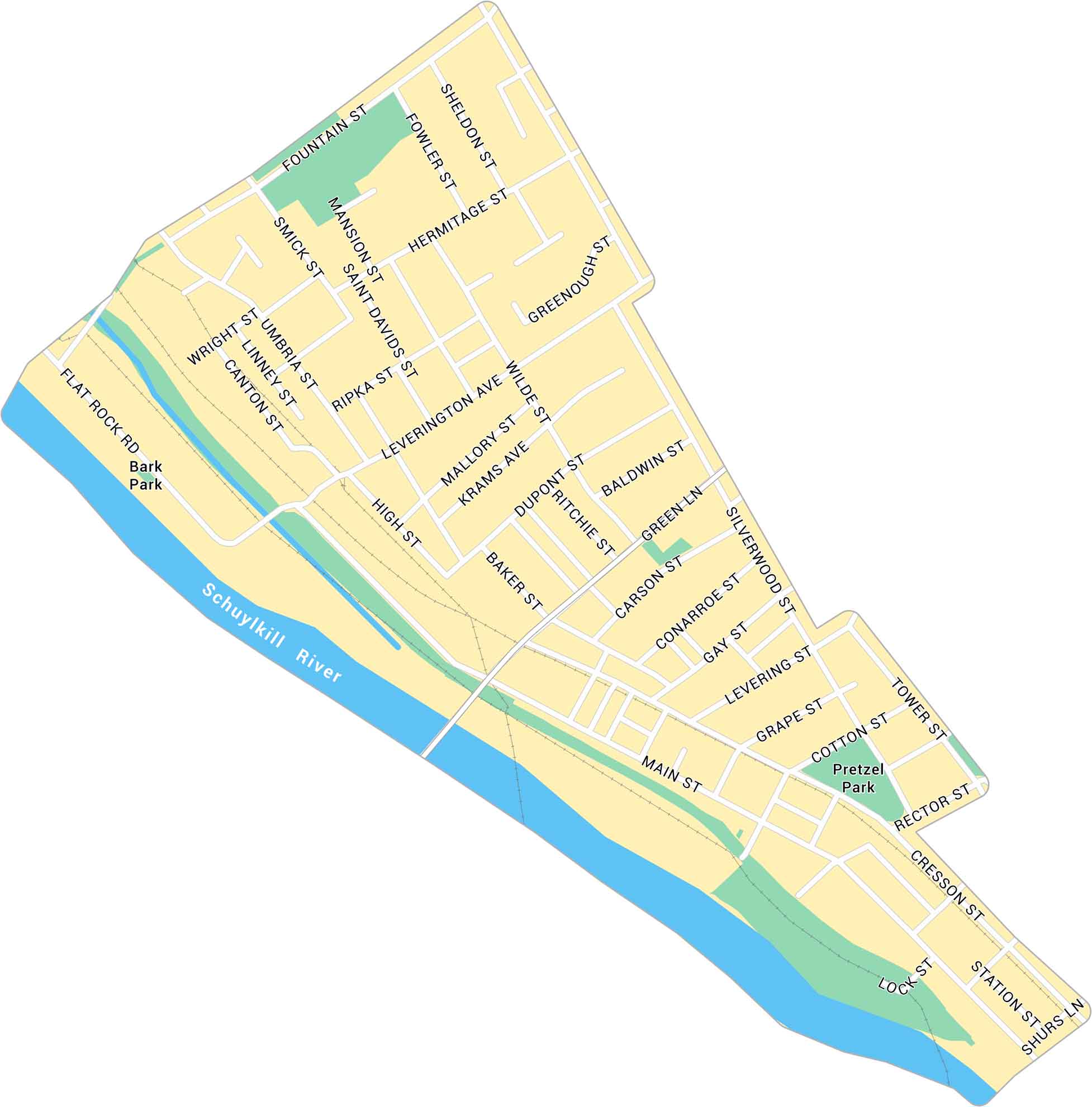
Our map of Manayunk shows the northwest Philadelphia neighborhood along the Schuylkill River. It shows Main Street, Pretzel Park and its distinct layout.
Map Information
Philadelphia Neighborhood Maps
See our neighborhood maps for a closer look of the city.
On the Map
Major Roads: Main St, Leverington Ave, Umbria St, Fountain St, Green Lane, Hermitage St, Shurs Ln, Smick St, Ridge Ave, Cotton St, Rector St, Cresson St, Station St, Silverwood St, Carson St, Gay St, Grape St, Dupont St, Kramas Ave, High St Major Rivers: Schuylkill River Parks: Pretzel Park, Bark ParkCity Maps of Pennsylvania
Here is our city map collection for all of Pennsylvania.


