Miami Design District Map
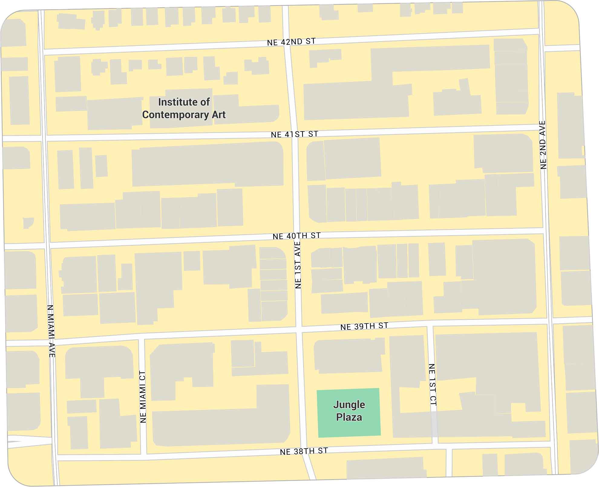
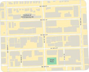
Our map of the Miami Design District shows the compact area just north of Wynwood. It highlights main streets and building footprints. It’s a modern district known for art, shopping, and open public spaces.
Map Information
Miami Neighborhood Maps
See our neighborhood maps for a closer look of the city.
On the Map
Major Roads: Miami Ave, 1st Ave, 2nd Ave, 38th St, 39th St, 40th St, 41st St, 42nd St Parks: Jungle Plaza Landmarks: Institute of Contemporary ArtFlorida City Maps
Chart your course through Miami and Florida’s cities


