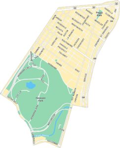
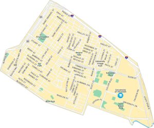
Rice Village Map, Houston
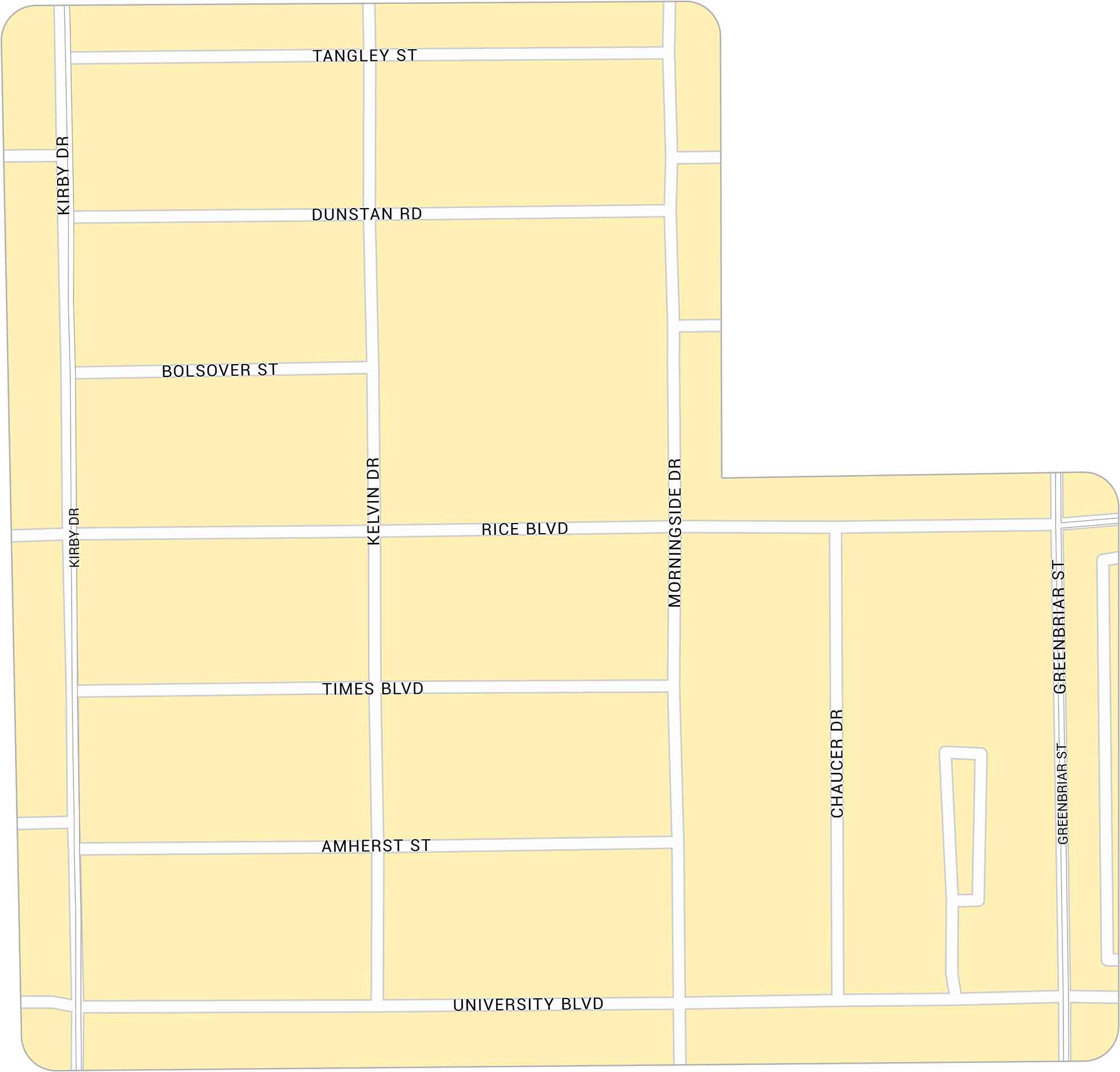
Rice Village sits just west of Rice University. Our map highlights its network of roads. You can find it in between Kirby Drive and University Boulevard.
Map Information
Houston Neighborhood Maps
See our neighborhood maps for a closer look of the city.
On the Map
Major Roads: University Blvd, Kirby Dr, Rice Blvd, Morningside Dr, Times Blvd, Greenbriar St, Amherst St, Dunstan Rd, Tangley St, Bolsover St, Kelvin Dr, Chaucer DrCity Maps of Texas
Explore our map collection of Texas cities.


