Whidbey Island Map
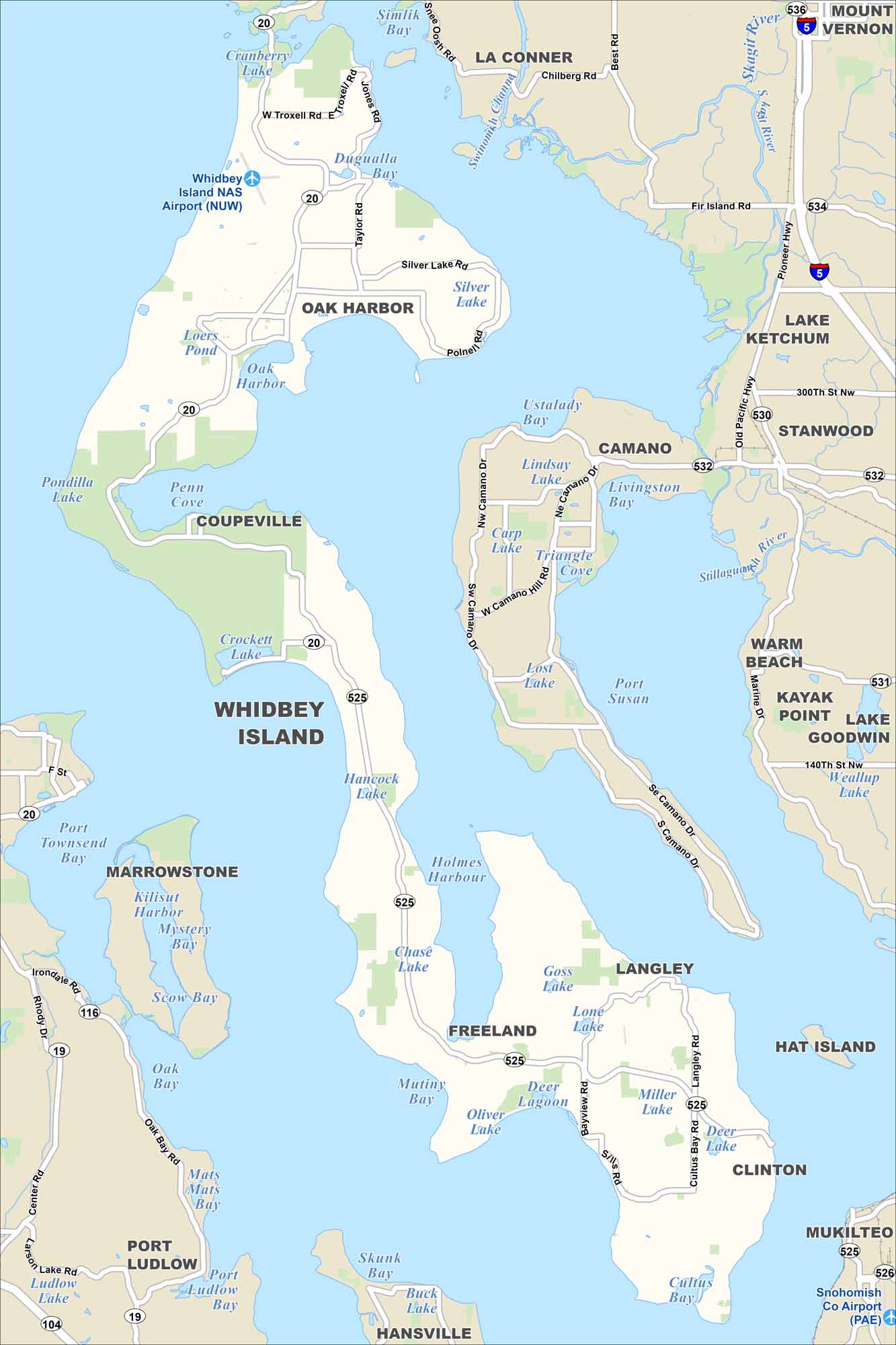
Our map of Whidbey Island shows its highways, small towns, and shoreline. Surrounded by the Puget Sound, the island is known for forests, beaches, and views of the Olympic Mountains.
Map Information
On the Map
Islands: Hat Island, Whidbey Island Towns/Cities: Camano, Clinton, Coupeville, Freeland, Hansville, Kayak Point, La Conner, Lake Ketchum, Langley, Marrowstone, Mount Vernon, Mukilteo, Oak Harbor, Port Ludlow, Stanwood, Warm Beach Major Roads: Route 5, Route 19, Route 20, Route 104, Route 116, Route 525, Route 530, Route 531, Route 532, Route 534Coastal Region Maps
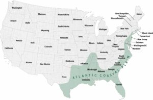
All coastal landscapes, maritime cultures, beaches, and islands.