Map of Wildwood, New Jersey
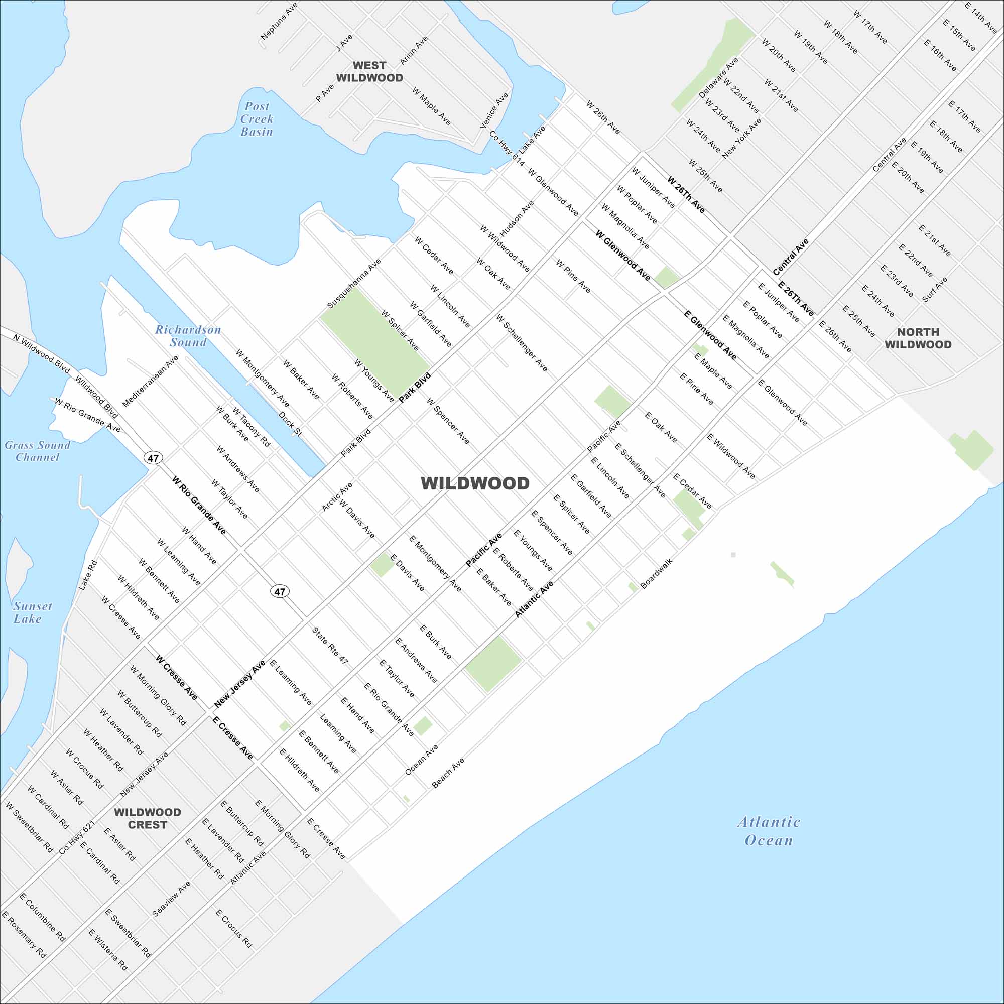
See Wildwood here on our map of this classic Jersey Shore destination. It’s a boardwalk and beach city that draws visitors every summer.
Map Information
On the Map
Interstates/Highways: State Rte 47 Major Roads: Rio Grande Ave, Atlantic Ave, Pacific Ave, Ocean Ave, Park Blvd, New Jersey Ave, Wildwood Blvd, Susquehanna Ave, Glenwood Ave, Montgomery Ave, Burke Ave, Andrews Ave, Baker Ave, Youngs Ave, Roberts Ave, Davis Ave, Spicer Ave, Garfield Ave, Spencer Ave, Schellenger Ave Lakes and Reservoirs: Atlantic Ocean, Richardson Sound, Sunset Lake, Post Creek Basin, Grass Sound Channel Nearby Communities: West Wildwood, North Wildwood, Wildwood CrestNew Jersey State Maps
Explore maps from the Garden State.


City Maps of New Jersey
Newark and New Jersey cities in complete detail


