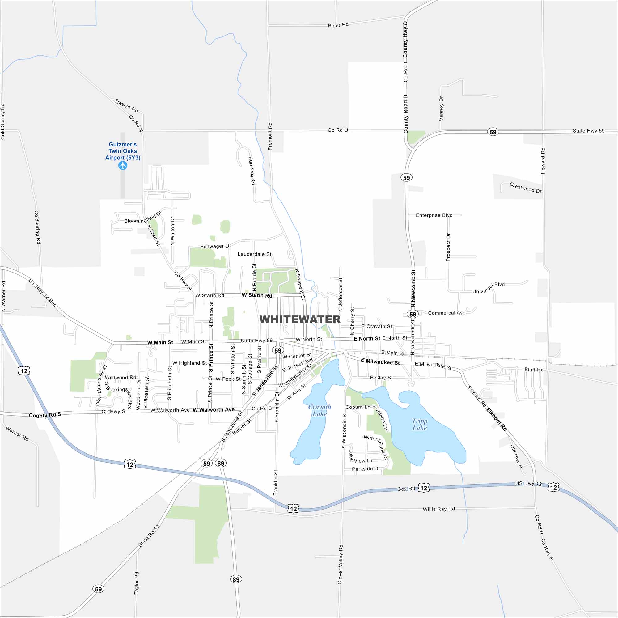
Map of Whitewater, Wisconsin
Familiarize yourself with Whitewater, home to the University of Wisconsin-Whitewater. It’s a college town surrounded by lakes and rolling hills.
Map Information
On the Map
Interstates/Highways: US Hwy 12, State Rte 59, State Rte 89 Major Roads: Main St, Milwaukee St, Walworth Ave, Janesville St, Wisconsin St, Fremont St, Newcomb St, Starin Rd, Prince St, Highland St, Elizabeth St, Tratt Rd, Clover Valley Rd, Willis Ray Rd, Commercial Ave, Universal Blvd, Prospect Dr, Enterprise Blvd, Clay St, Ann St Airports: Gutzmer’s Twin Oaks Airport (5Y3) Lakes and Reservoirs: Cravath Lake, Tripp LakeWisconsin State Maps
Discover maps of the Badger State.


City Maps of Wisconsin
See our Wisconsin maps designed for clarity.


