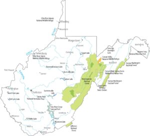
Map of West Virginia
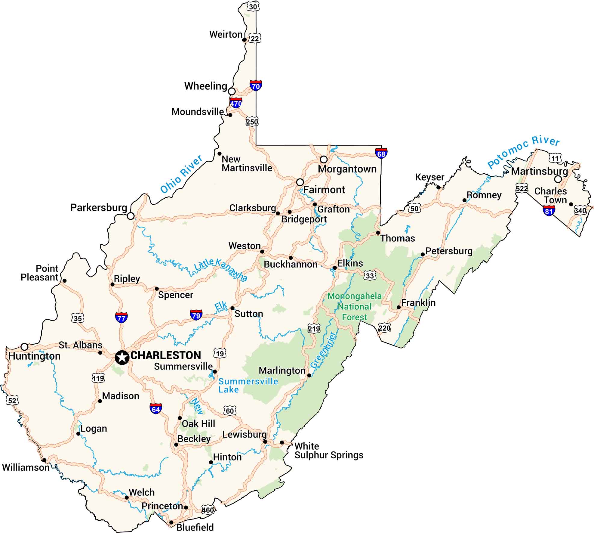
Explore winding highways and quiet mountain towns across West Virginia. Our road map shows cities, rivers, and lakes, including Charleston and the Monongahela National Forest. See how the roads follow the curves of the hills and valleys. They connect small towns and scenic byways through the heart of Appalachia.
West Virginia State Maps
Browse our maps of the state of West Virginia.


Map Information
On the Map
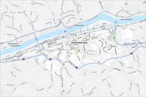
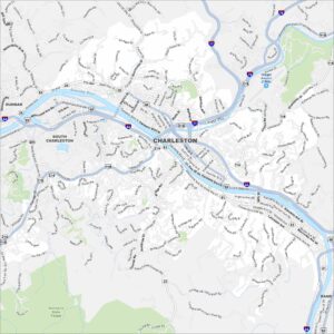
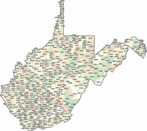
City Maps of West Virginia
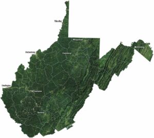
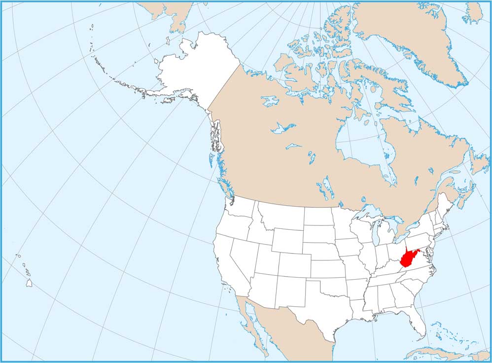
Explore the geography of West Virginia