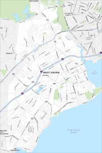
Map of West Haven, Connecticut
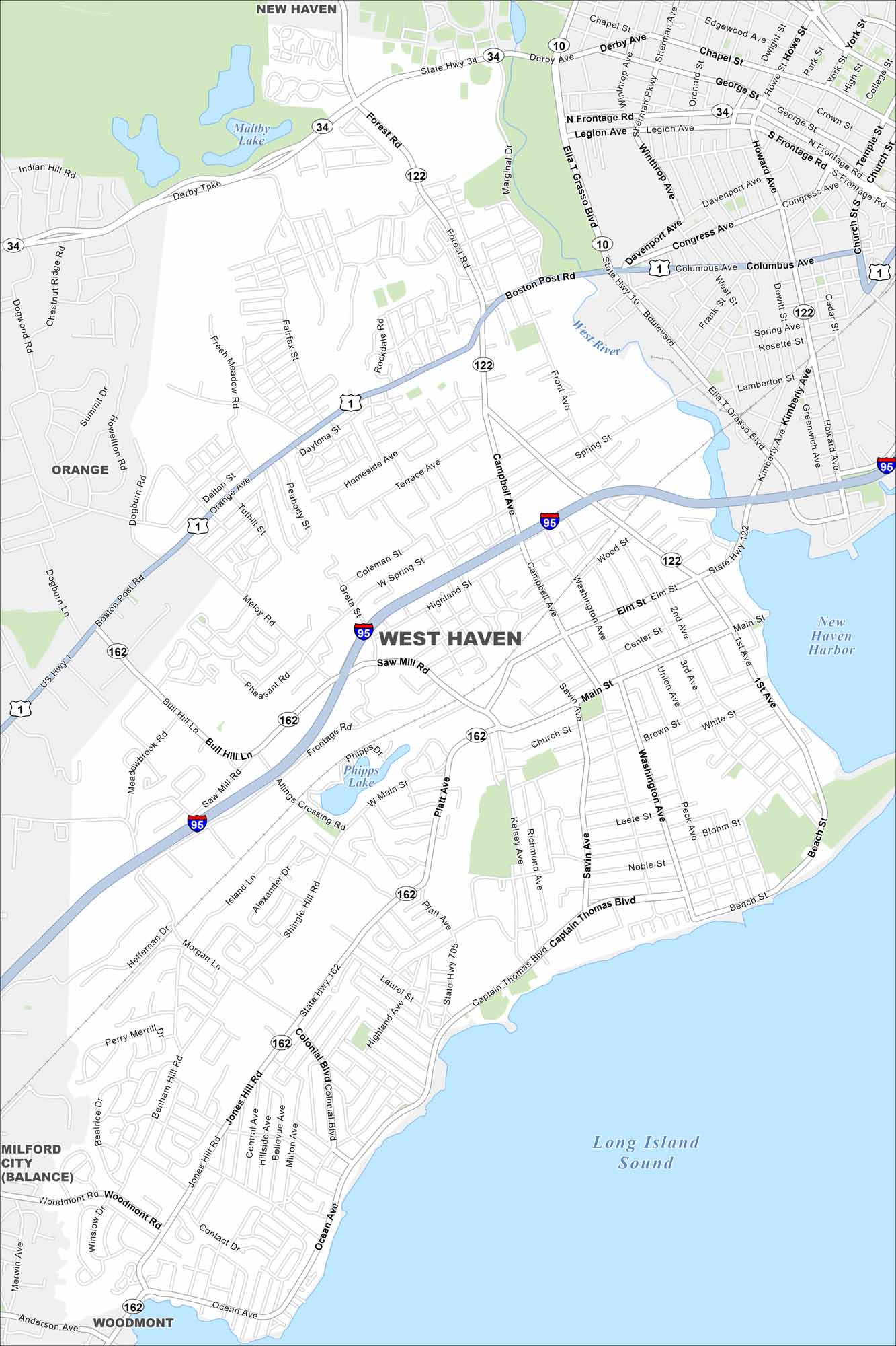
Start with this map of West Haven along the Long Island Sound. Beaches, a long shoreline, and historic neighborhoods stand out.
Connecticut State Maps
Here’s your getaway to Connecticut geography


Map Information
On the Map
Interstates/Highways: I-95, US Hwy 1, State Rte 10, State Rte 34, State Rte 122, State Rte 162, State Rte 705 Major Roads: Campbell Ave, Ocean Ave, Captain Thomas Blvd, Jones Hill Rd, Saw Mill Rd, Main St, Elm St, First Ave, Second Ave, Washington Ave, Savin Ave, Bull Hill Ln, Boston Post Rd, Derby Tpke, Forest Rd, Ella T Grasso Blvd, Davenport Ave, Congress Ave, Columbus Ave, Front Ave Lakes and Reservoirs: Long Island Sound, New Haven Harbor, Maltby Lake, Phipps Lake Major Rivers: West River Nearby Communities: New Haven, Orange, Woodmont, Milford CityConnecticut City Maps
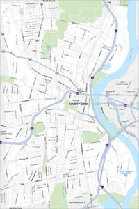
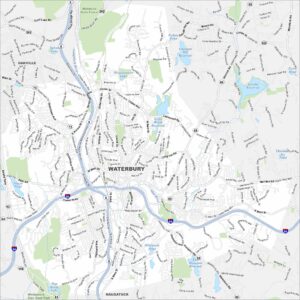
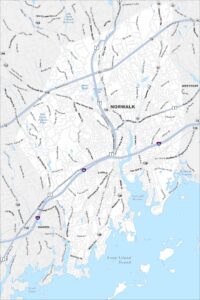
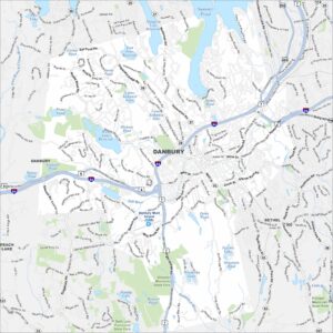
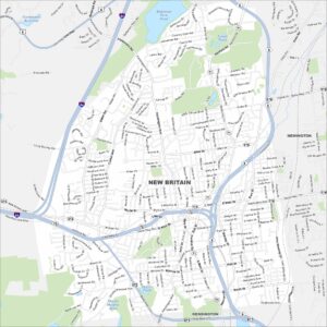
Browse Hartford and Connecticut’s city centers