Map of West Covina, California
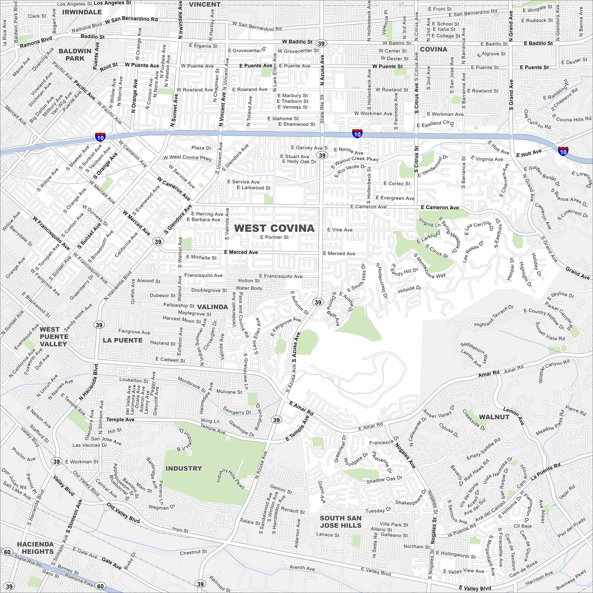
Our West Covina map highlights this San Gabriel Valley city. Shopping centers, mountain views, and suburban neighborhoods define the area.
California State Maps
Explore California with our state maps


Map Information
On the Map
Interstates/Highways: I-10, State Rte 39, State Rte 60 Major Roads: Azusa Ave, West Covina Pkwy, Garvey Ave, Amar Rd, Valley Blvd, Sunset Ave, Orange Ave, Vincent Ave, Glendora Ave, Valinda Ave, Grand Ave, Holt Ave, Cameron Ave, Merced Ave, Puente Ave, Badillo St, Workman Ave, Lakes Dr, Citrus St, Barranca Ave Nearby Communities: Baldwin Park, Irwindale, Vincent, Covina, Walnut, Industry, Valinda, La Puente, West Puente Valley, Hacienda Heights, South San Jose HillsCalifornia City Maps
Here are detailed maps of California


