Map of West Bend, Wisconsin
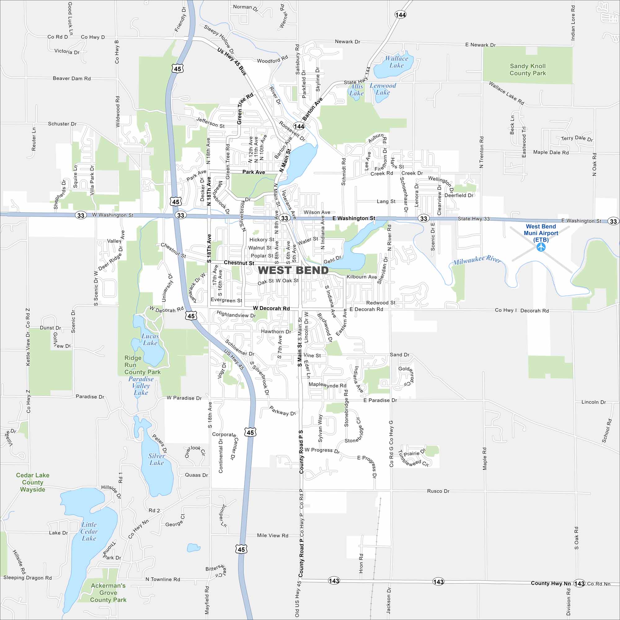
We’ve mapped out every major road in West Bend, north of Milwaukee. The city is close to the Kettle Moraine State Forest, with trails and rolling hills.
Map Information
On the Map
Interstates/Highways: US Hwy 45, State Rte 33, State Rte 144, State Rte 143 Major Roads: Washington St, Main St, Paradise Dr, Decorah Rd, Progress Dr, 18th Ave, Silverbrook Dr, Main St, 7th Ave, Indiana Ave, River Rd, Newark Dr, Veterans Ave, Water St, Chestnut St, Kilbourn Ave, Redwood St, Sylvan Way, Rusco Rd, Mile View Rd Airports: West Bend Muni Airport (ETB) Lakes and Reservoirs: Silver Lake, Lucas Lake, Paradise Valley Lake, Wallace Lake, Little Cedar Lake, Lenwood Lake Major Rivers: Milwaukee River Parks and Preserves: Ridge Run County Park, Sandy Knoll County Park, Ackerman’s Grove County Park, Cedar Lake County WaysideWisconsin State Maps
Discover maps of the Badger State.


City Maps of Wisconsin
See our Wisconsin maps designed for clarity.


