Map of Waterbury, Connecticut
See how Waterbury is connected with our street map. Known as the “Brass City”, it has historic architecture and strong New England character.
Connecticut State Maps
Here’s your getaway to Connecticut geography


Map Information
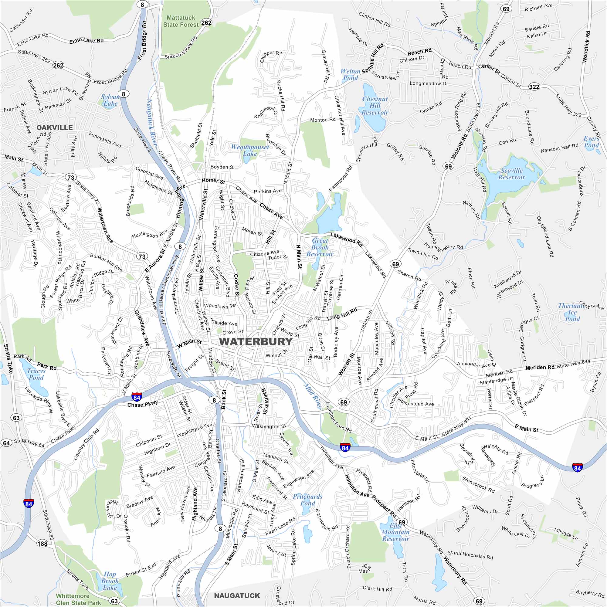
On the Map
Interstates/Highways: I-84, State Rte 8, State Rte 63, State Rte 64, State Rte 68, State Rte 69, State Rte 73, State Rte 188, State Rte 262, State Rte 322, State Rte 801, State Rte 844 Major Roads: West Main St, East Main St, Main St, Meriden Rd, Wolcott St, Chase Ave, Watertown Ave, Thomaston Ave, Sunnyside Ave, Highland Ave, Bunker Hill Ave, Willow St, Cooke St, Baldwin St, South Main St, Hamilton Ave, Plank Rd, Scott Rd, Stillson Rd, Lakewood Rd Lakes and Reservoirs: Lakewood Lake, Chestnut Hill Reservoir, Scoville Reservoir, Great Brook Reservoir, Welton Pond, Sylvan Lake, Echo Lake, Hop Brook Lake, Pritchards Pond, Theriault Ice Pond Major Rivers: Naugatuck River, Mad River Parks and Preserves: Mattatuck State Forest, Whittemore Glen State Park Nearby Communities: Oakville, NaugatuckConnecticut City Maps
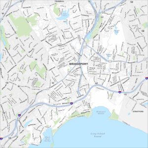
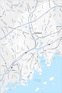
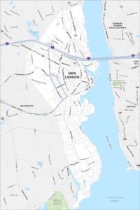
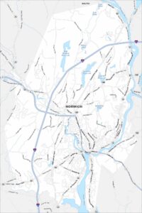
Browse Hartford and Connecticut’s city centers