Map of Walnut, California
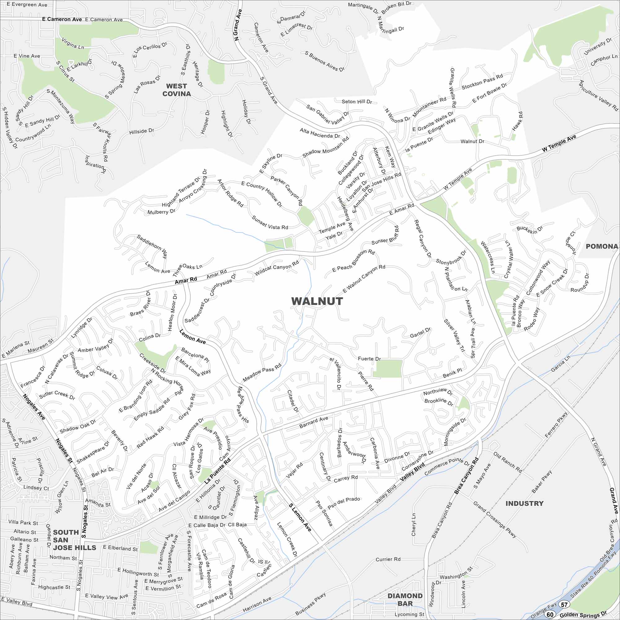
Get around Walnut with this detailed map. Tucked in the San Gabriel Valley, it’s known for quiet neighborhoods and mountain views.
California State Maps
Explore California with our state maps


Map Information
On the Map
Interstates/Highways: State Rte 60, State Rte 57 Major Roads: Valley Blvd, Lemon Ave, Amar Rd, La Puente Rd, Grand Ave, Temple Ave, Nogales St, Brea Canyon Rd, Fairway Dr, Pierre Rd, Fuerte Dr, Suzanne Rd, Lycoming St, Golden Springs Dr, Meadow Pass Rd, Snow Creek Dr, Currier Rd, Pathfinder Rd, Prospectors Rd, Diamond Bar Blvd Nearby Communities: West Covina, Pomona, Industry, Diamond Bar, South San Jose HillsCalifornia City Maps
Here are detailed maps of California


