Map of Vista, California
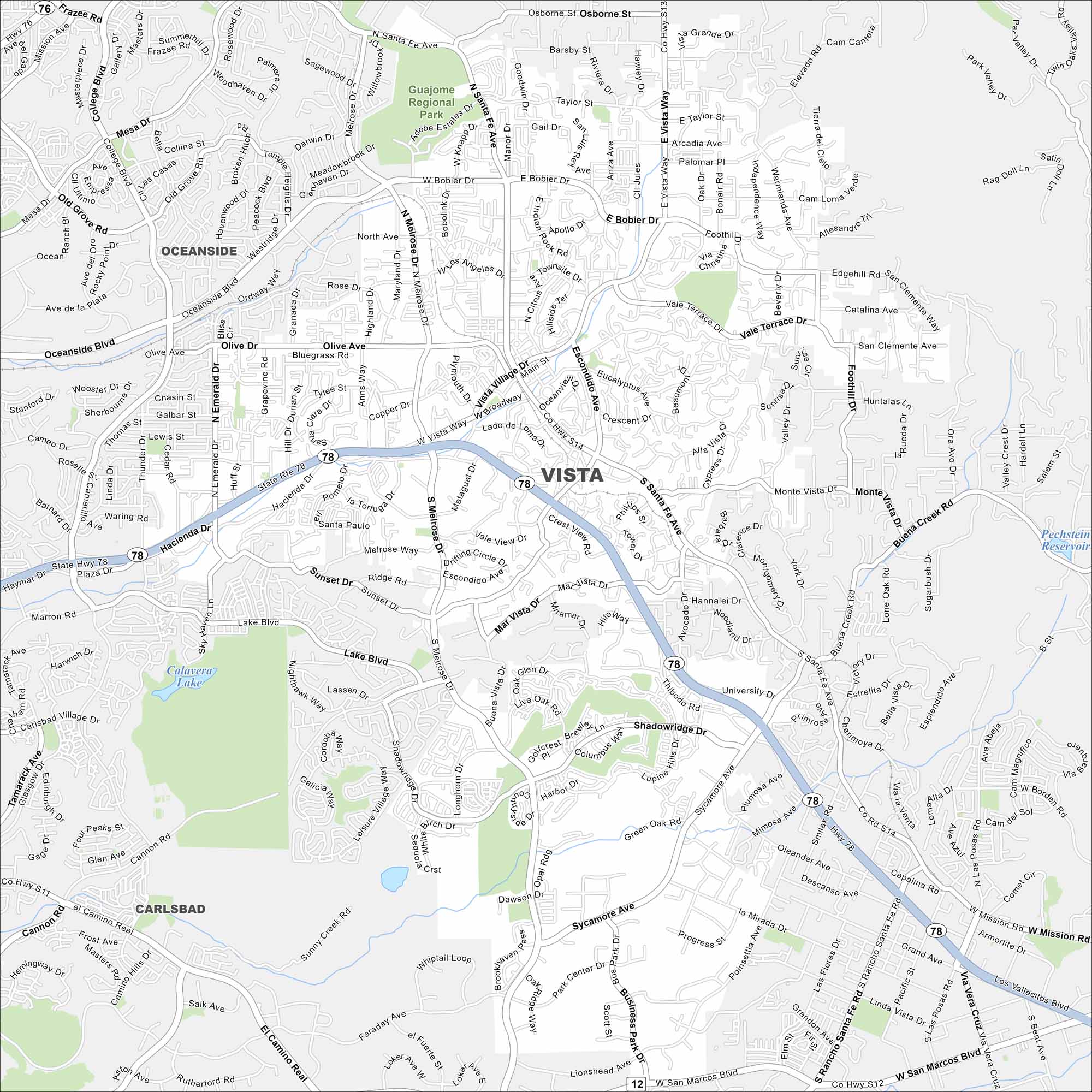
Our Vista map shows this North County San Diego city. Known for breweries, parks, and sunshine, it’s a lively coastal neighbor.
California State Maps
Explore California with our state maps


Map Information
On the Map
Interstates/Highways: State Rte 78 Major Roads: Vista Village Dr, S Santa Fe Ave, Melrose Dr, Bobier Dr, East Vista Way, Mar Vista Dr, Shadowridge Dr, Sycamore Ave, Gopher Canyon Rd, Hacienda Dr, Oceanside Blvd, Plaza Dr, Emerald Dr, Sunset Dr, Melrose Way, Vale View Dr, Thibodo Rd, Mimosa Ave, Rancho Santa Fe Rd, Mission Rd Lakes and Reservoirs: Calavera Lake, Pechstein Reservoir Parks and Preserves: Guajome Regional Park Nearby Communities: Oceanside, Carlsbad, San MarcosCalifornia City Maps
Here are detailed maps of California


