Map of Vallejo, California
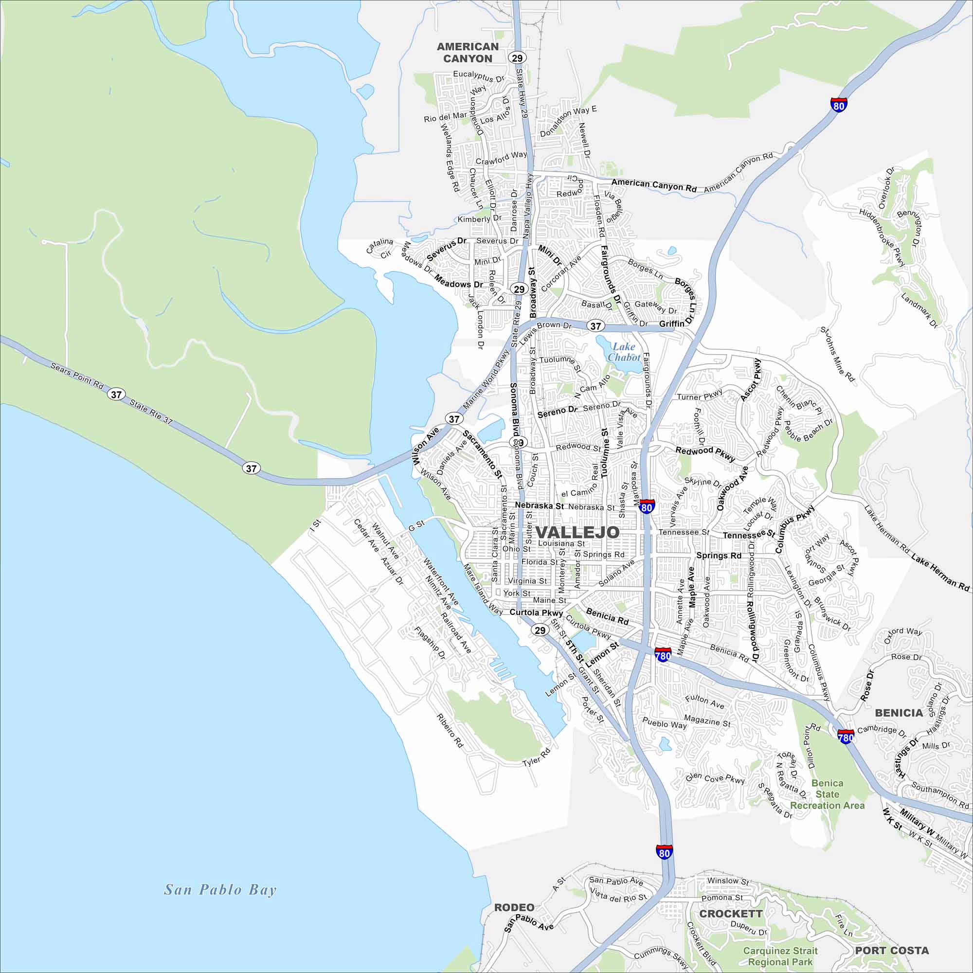
Our map of Vallejo shows you around this Bay Area port city. It’s home to Mare Island Naval Shipyard history and waterfront parks.
California State Maps
Explore California with our state maps


Map Information
On the Map
Interstates/Highways: I-80, I-780, State Rte 29, State Rte 37 Major Roads: Sonoma Blvd, Broadway St, Tennessee St, Springs Rd, Redwood Pkwy, Benicia Rd, Columbus Pkwy, Magazine St, Curtola Pkwy, Lemon St, Tuolumne St, Sereno Dr, Nebraska St, Maine St, Florida St, Sacramento St, Wilson Ave, Marine World Pkwy, Mini Dr, Lewis Brown Rd Lakes and Reservoirs: San Pablo Bay, Lake Chabot Parks and Preserves: Benica State Recreation Area Nearby Communities: American Canyon, Benicia, Rodeo, Crockett, Port CostaCalifornia City Maps
Here are detailed maps of California


