Map of Vacaville, California
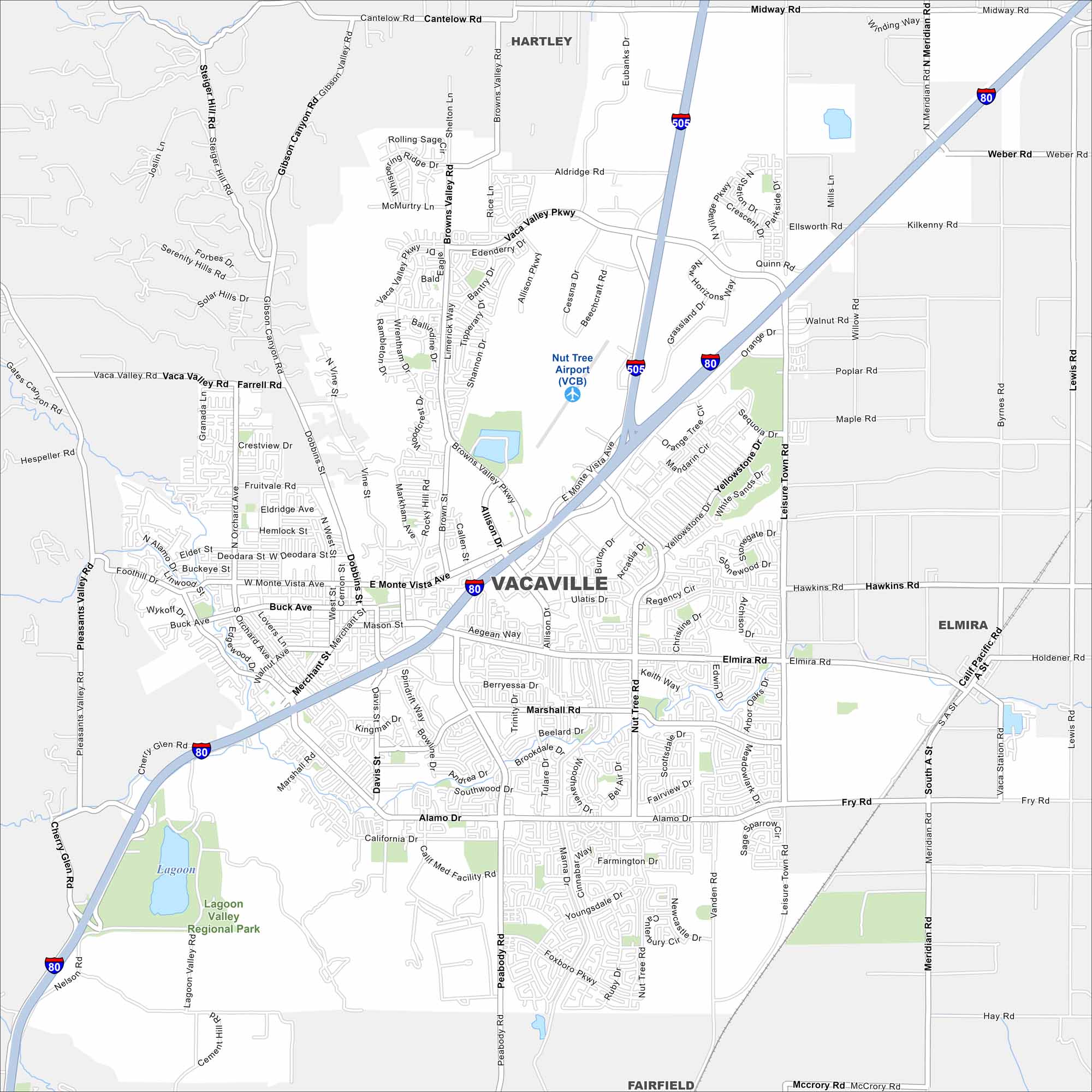
Take a look at Vacaville, located between Sacramento and the Bay Area. Our map highlights its highways, trails, and parks scattered throughout the city.
California State Maps
Explore California with our state maps


Map Information
On the Map
Interstates/Highways: I-80, I-505 Major Roads: Monte Vista Ave, Peabody Rd, Alamo Dr, Merchant St, Leisure Town Rd, Vaca Valley Pkwy, Browns Valley Rd, Elmira Rd, Marshall Rd, Nut Tree Rd, Orange Dr, Allison Dr, Fry Rd, Meridian Rd, Cherry Glen Rd, Pleasants Valley Rd, Gibson Canyon Rd, Steiger Hill Rd, Cantelow Rd, Midway Rd Airports: Nut Tree Airport (VCB) Parks and Preserves: Lagoon Valley Regional Park Nearby Communities: Hartley, Elmira, FairfieldCalifornia City Maps
Here are detailed maps of California


