Home » City Maps » Map of Tustin, California

Map of Tustin, California

Tustin Map California

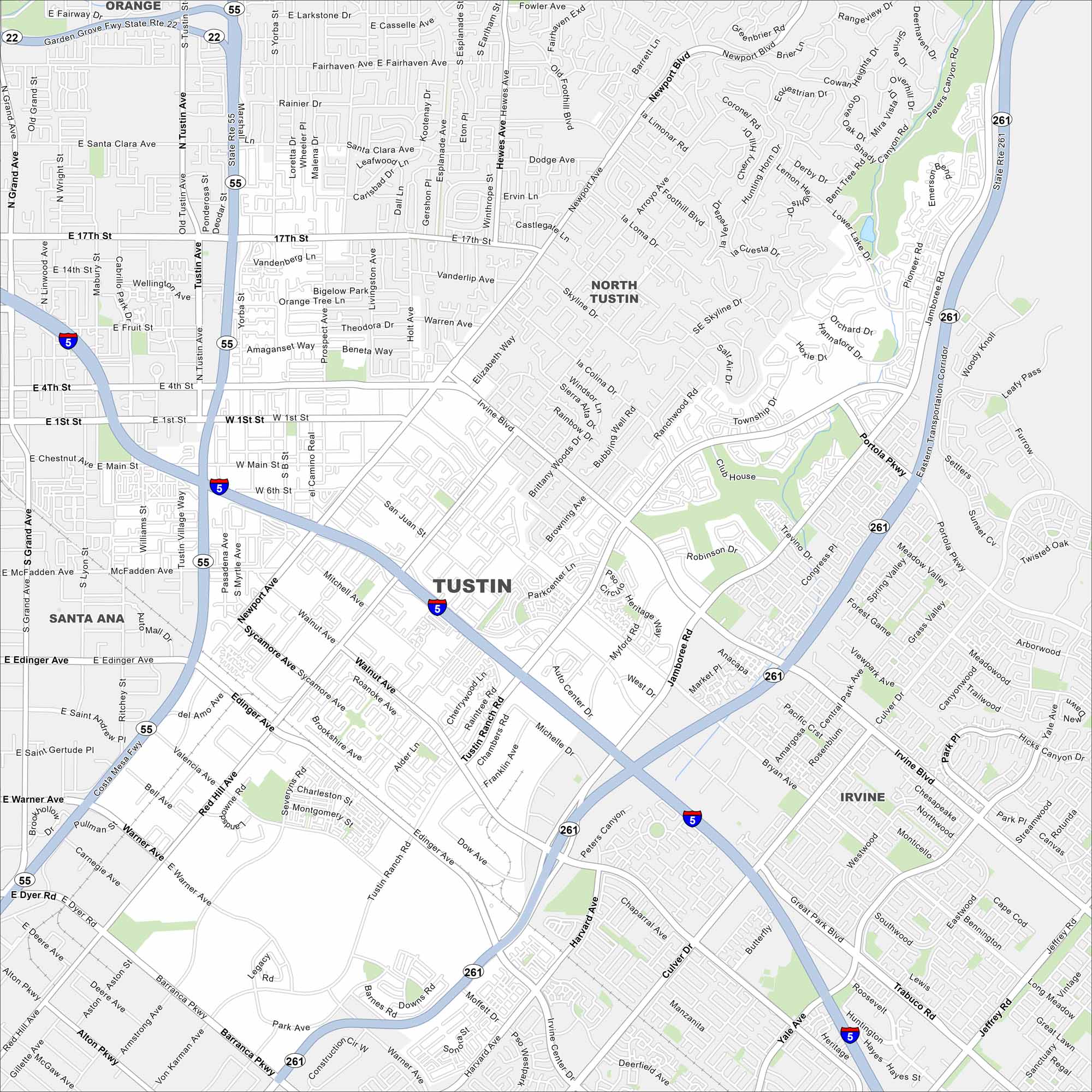
Our Tustin map helps you see this Orange County city. It blends Old Town history with large parks and modern neighborhoods. Interstate 5 cuts through diagonally for added convenience.

Map Information

  • Tustin, California
  • Road Map of Tustin, California
  • Free for personal and commercial purpose. Attribution is required. How to attribute?

On the Map

Interstates/Highways: I-5, State Rte 55, State Rte 261, State Rte 22 Major Roads: Tustin Ranch Rd, Newport Ave, Red Hill Ave, Jamboree Rd, 17th St, Irvine Blvd, Tustin Ave, Main St, Edinger Ave, Warner Ave, Barranca Pkwy, Bryan Ave, Myford Rd, Walnut Ave, Browning Ave, Robinson Dr, Portola Pkwy, Culver Dr, Yale Ave, Harvard Ave Nearby Communities: Santa Ana, Orange, Irvine, North Tustin

California City Maps

Here are detailed maps of California

References

  1. City of Tustin, California
  2. The Official Website of the State of California
  3. Tustin in Google Maps

Leave a Reply

Your email address will not be published. Required fields are marked *