Map of Turlock, California
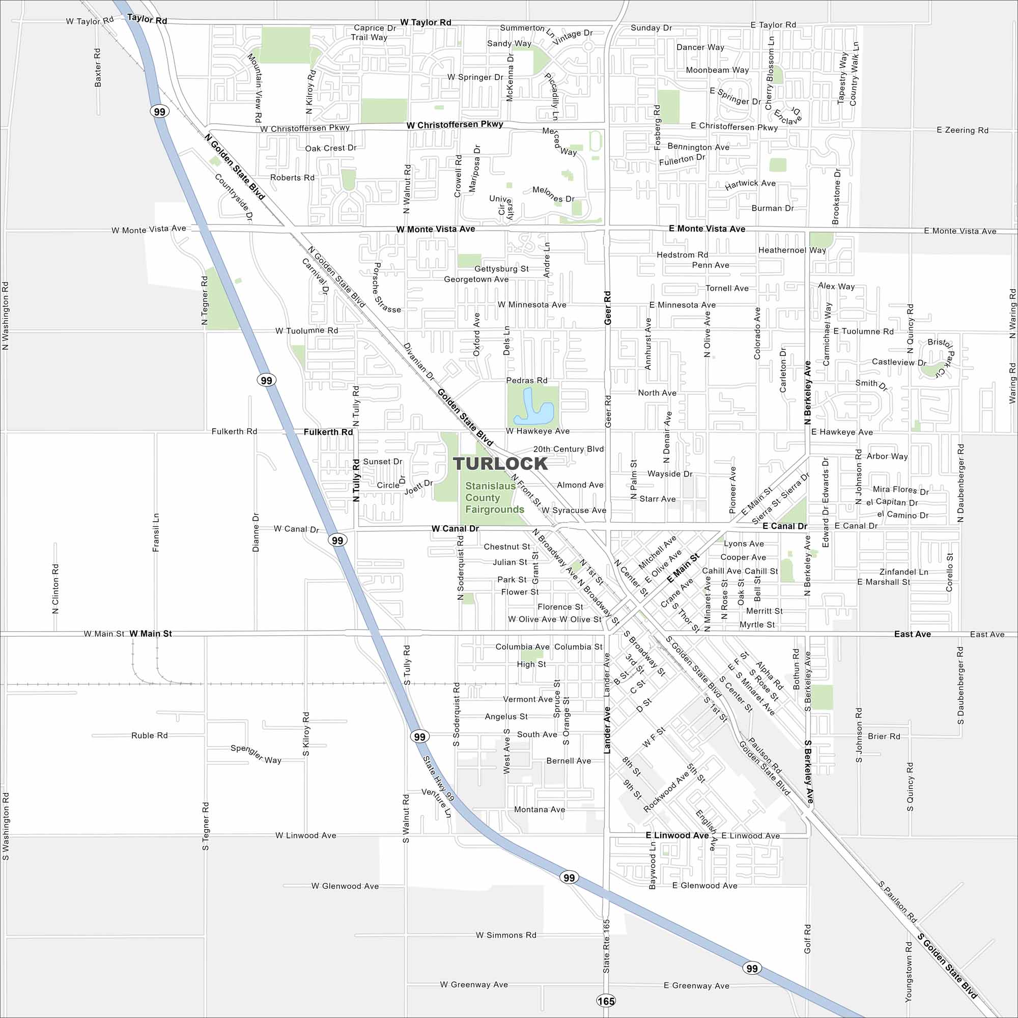
Here’s a map of Turlock, home to California State University, Stanislaus. Agriculture, parks, and community events shape the city’s layout.
California State Maps
Explore California with our state maps


Map Information
On the Map
Interstates/Highways: State Hwy 99, State Rte 165 Major Roads: Golden State Blvd, Main St, Monte Vista Ave, Geer Rd, Christoffersen Pkwy, West Ave, Canal Dr, Hawkeye Ave, Berkeley Ave, Taylor Rd, Tully Rd, Lander Ave, Linwood Ave, Daubenberger Rd, Fulkerth Rd, Tuolumne Rd, Olive Ave, Broadway Ave, Johnson Rd, Quincy Rd Parks and Preserves: Stanislaus County FairgroundsCalifornia City Maps
Here are detailed maps of California


