Map of Trenton, New Jersey
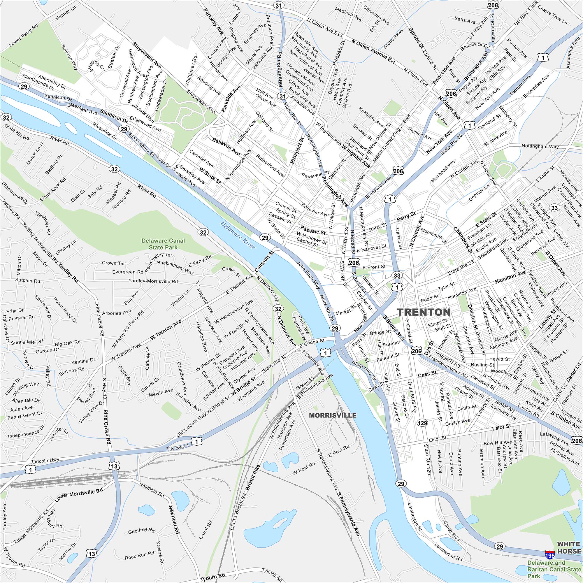
Our road map of Trenton highlights the New Jersey capital. The city is rich in Revolutionary War history and sits on the Delaware River.
Map Information
On the Map
Interstates/Highways: I-195, US Hwy 1, US Hwy 206, State Rte 29, State Rte 31, State Rte 32, State Rte 33, State Rte 129 Major Roads: Brunswick Ave, Princeton Ave, Olden Ave, Calhoun St, State St, Hamilton Ave, Broad St, Cass St, Lamberton Rd, Market St, Warren St, Willow St, Montgomery St, Clinton Ave, Liberty St, Chambers St, Parkside Ave, Stuyvesant Ave, Sanhican Dr, Sullivan Way Major Rivers: Delaware River Parks and Preserves: Delaware Canal State Park, Delaware and Raritan Canal State Park Nearby Communities: Morrisville, White HorseNew Jersey State Maps
Explore maps from the Garden State.


City Maps of New Jersey
Newark and New Jersey cities in complete detail


