Map of Torrance, California
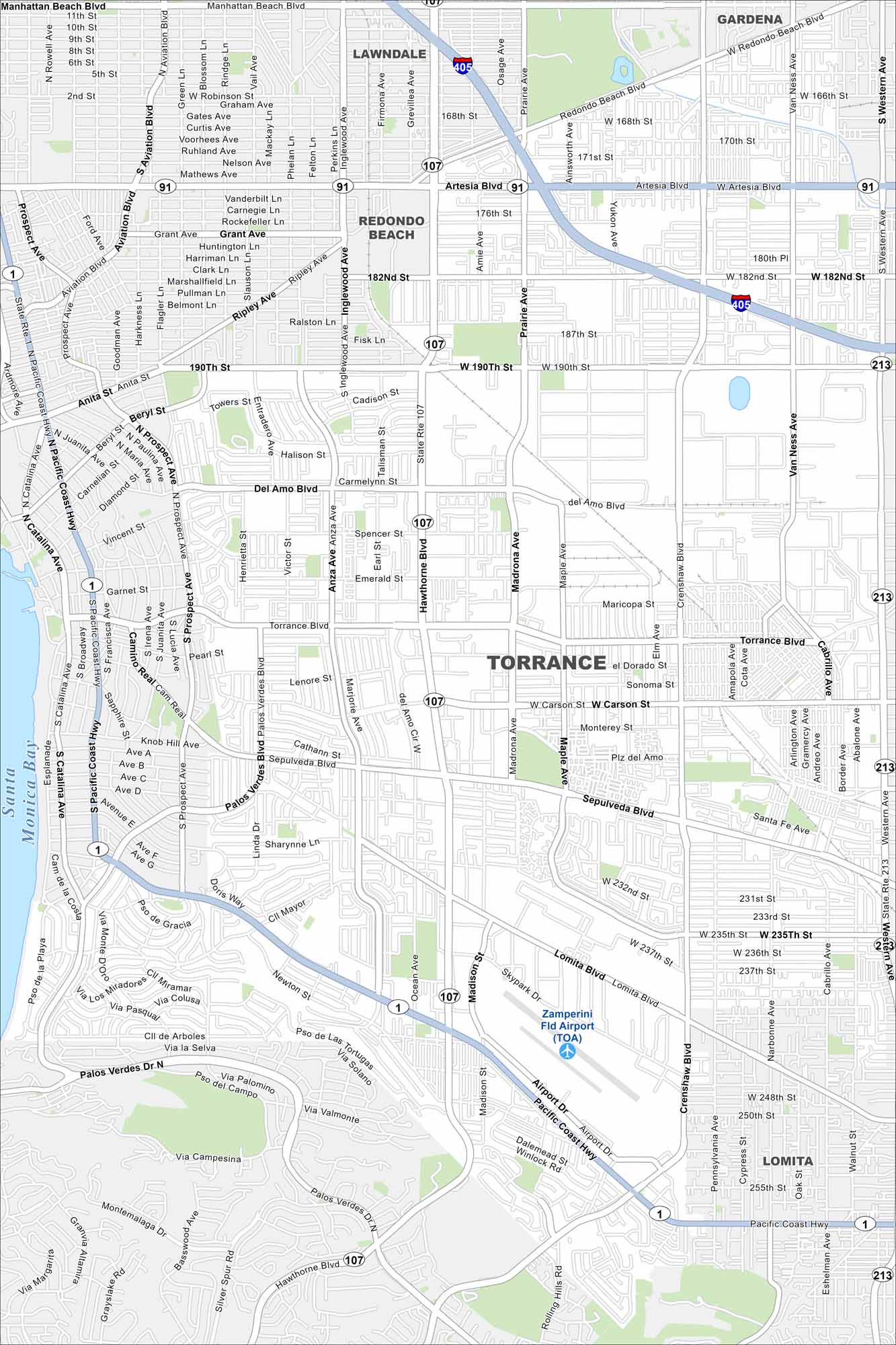
Our map of Torrance shows you around this South Bay city. It features miles of beaches, shopping districts, and coastal neighborhoods. It’s also a close distance to Santa Monica Bay.
California State Maps
Explore California with our state maps


Map Information
On the Map
Interstates/Highways: I-405, State Rte 1, State Rte 91, State Rte 107, State Rte 213 Major Roads: Hawthorne Blvd, Torrance Blvd, Sepulveda Blvd, Carson St, Lomita Blvd, Pacific Coast Hwy, Western Ave, Crenshaw Blvd, Madrona Ave, Prairie Ave, Artesia Blvd, 190th St, Del Amo Blvd, Palos Verdes Dr N, Anza Ave, Prospect Ave, Redondo Beach Blvd, Van Ness Ave, 182nd St, Main St Airports: Zamperini Fld Airport (TOA) Lakes and Reservoirs: Santa Monica Bay Nearby Communities: Lawndale, Gardena, Redondo Beach, LomitaCalifornia City Maps
Here are detailed maps of California


