Map of Temecula, California
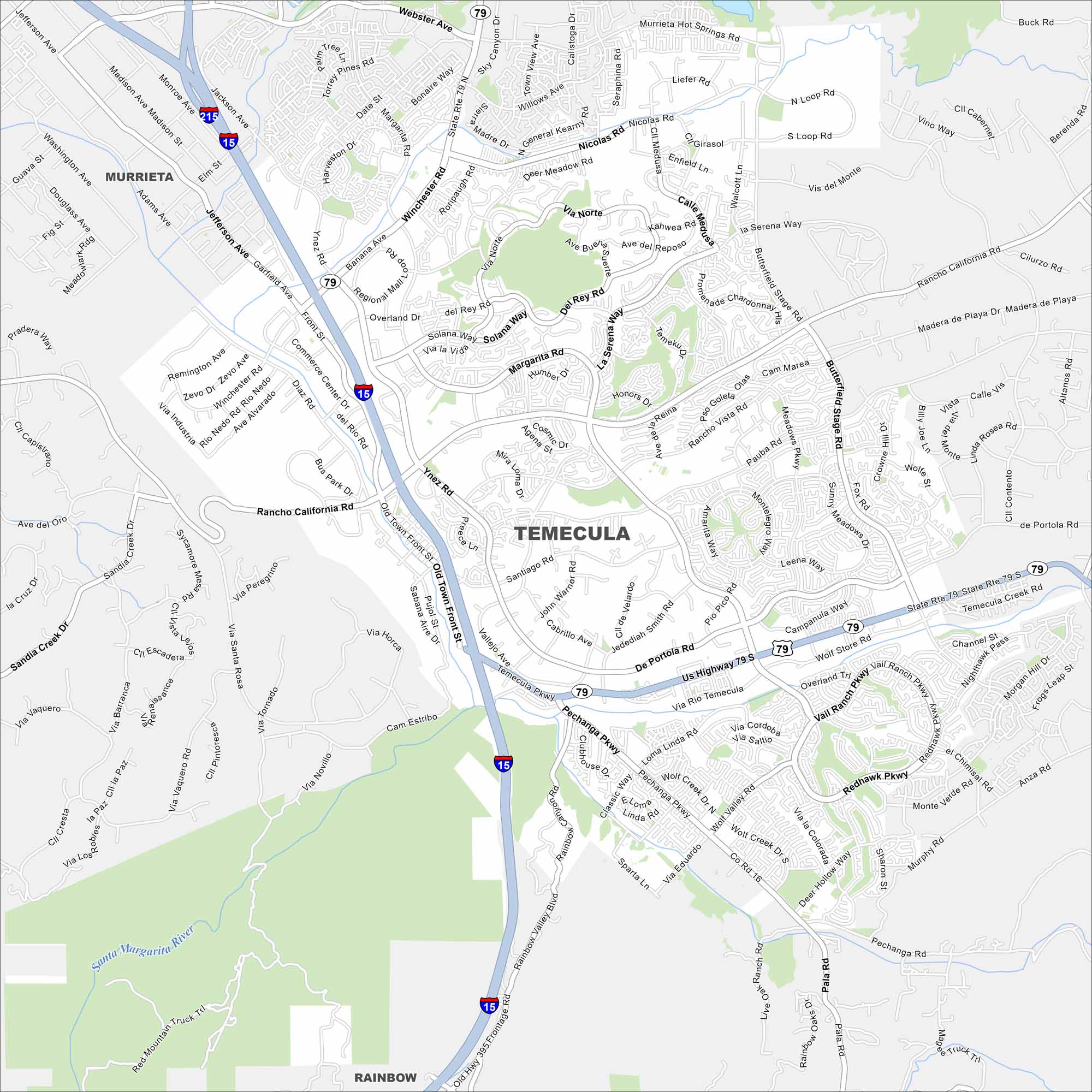
Want to see a map of Temecula, California? This Southern California city is famous for its wineries, Old Town, and rolling hills. It’s conveniently located at the intersection of I-15 and US-79.
California State Maps
Explore California with our state maps


Map Information
On the Map
Interstates/Highways: I-15, State Rte 79, State Rte 79 S, US Highway 79 S Major Roads: Rancho California Rd, Temecula Pkwy, Winchester Rd, Old Town Front St, Pechanga Pkwy, Butterfield Stage Rd, Pauba Rd, De Portola Rd, Anza Rd, Margarita Rd, Ynez Rd, Jefferson Ave, Murrieta Hot Springs Rd, Nicolas Rd, Meadows Pkwy, Redhawk Pkwy, Wolf Store Rd, Pala Rd, Rainbow Valley Blvd, Via Linda Major Rivers: Santa Margarita River Nearby Communities: Murrieta, RainbowCalifornia City Maps
Here are detailed maps of California


