Map of Tehachapi, California
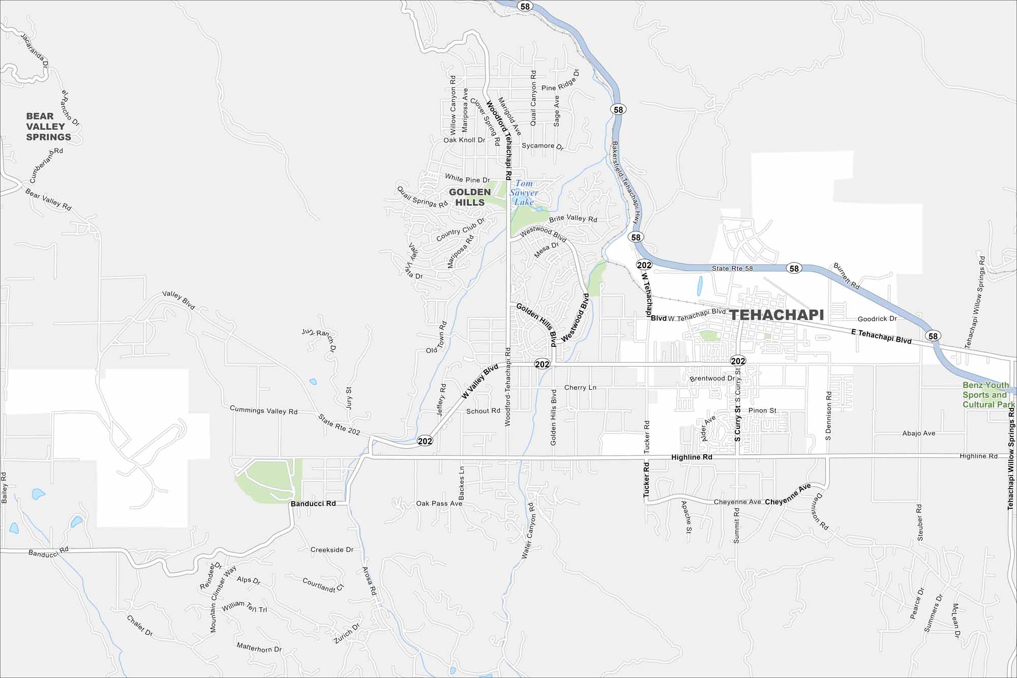
Our road map of Tehachapi helps you explore this mountain town. Known for its scenic loop railroad and wind farms, it mixes small-town energy with outdoor beauty.
California State Maps
Explore California with our state maps


Map Information
On the Map
Interstates/Highways: State Rte 58, State Rte 202 Major Roads: Tehachapi Blvd, Tehachapi Willow Springs Rd, Highline Rd, Woodford-Tehachapi Rd, Valley Blvd, Tucker Rd, Curry St, Dennison Rd, Steuber Rd, Golden Hills Blvd, Westwood Blvd, Country Club Dr, Banducci Rd, Cummings Valley Rd, Mariposa Rd, Quail Springs Rd, Oak Knoll Dr, Old Town Rd, Backes Ln, Cherry Ln Lakes and Reservoirs: Tom Sawyer Lake Parks and Preserves: Benz Youth Sports and Cultural Park Nearby Communities: Bear Valley Springs, Golden HillsCalifornia City Maps
Here are detailed maps of California


