Nevada Outline Map
Nevada’s borders form sharp angles and long straight edges. Our outline map of Nevada shows it’s triangular shape that holds its desert.
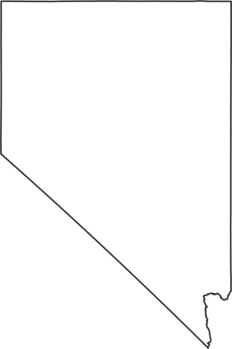
Nevada’s borders form sharp angles and long straight edges. Our outline map of Nevada shows it’s triangular shape that holds its desert.
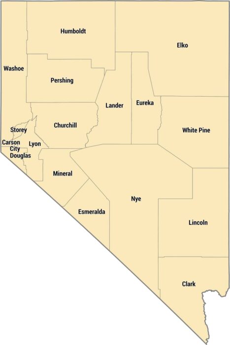
Nevada only has 17 counties, but some are absolutely massive. Clark County in the south has Las Vegas and most of the state’s population.
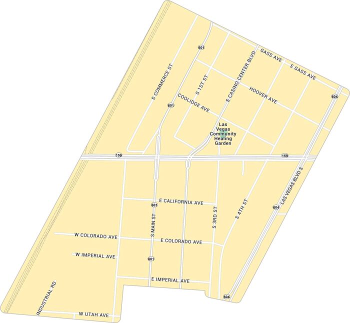
This road map of the Arts District cuts right through downtown Las Vegas. The area has a raw, creative edge that feels far from the Strip.
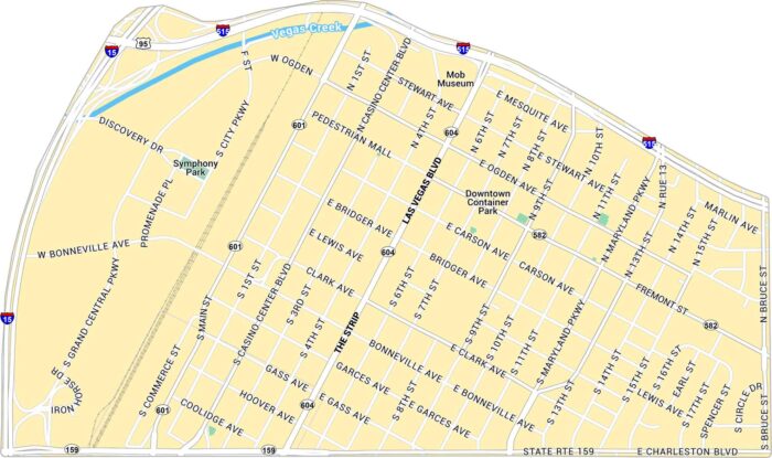
Get to know Downtown Las Vegas with our map that shows the Strip and Fremont Street. It includes the main roads, parks and highways.
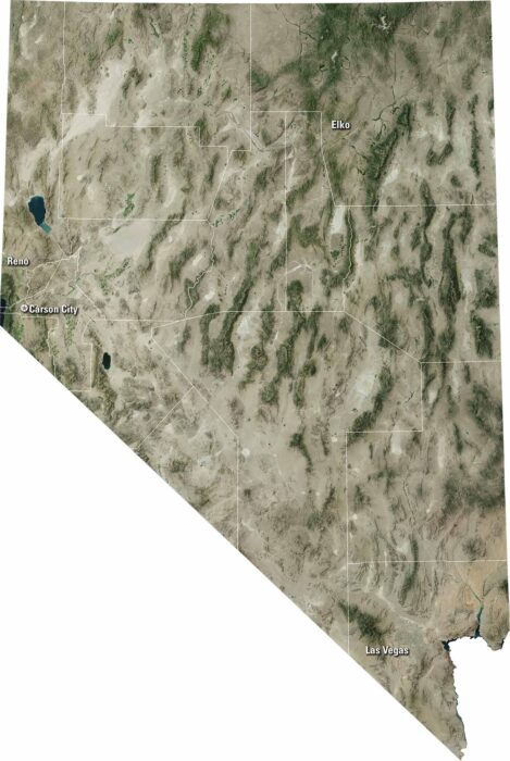
Nevada looks vast from above, with deserts and mountain ranges. Our satellite map shows Las Vegas, Reno and Carson City as key hubs.
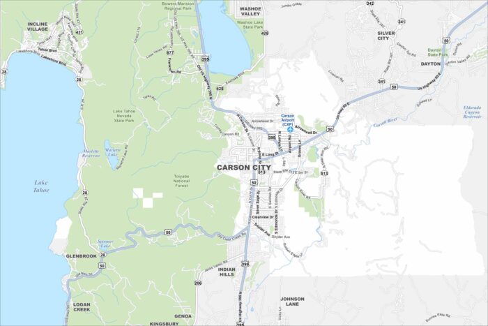
See Carson City on our map, showing the Carson River winding through the area. It’s the capital of Nevada.
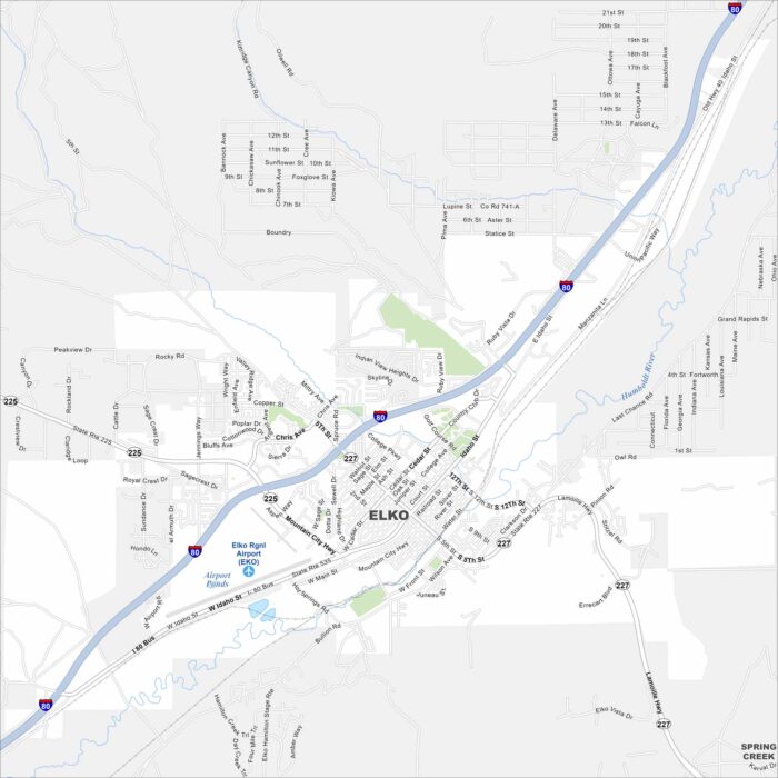
Elko is a high-desert city surrounded by mountain ranges. You’ll spot I-80 running east–west across the area.
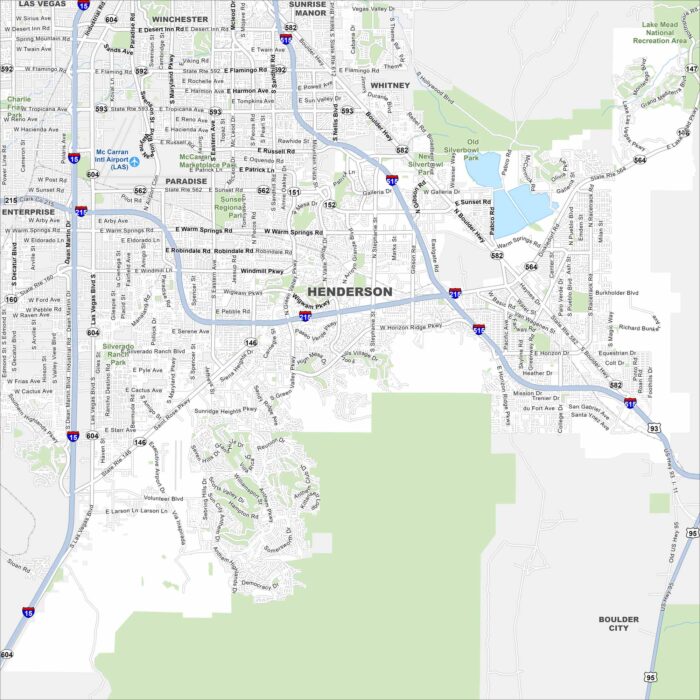
Henderson is just southeast of Las Vegas in the Mojave Desert. Neighborhoods spread between desert hills and the edge of Lake Mead.
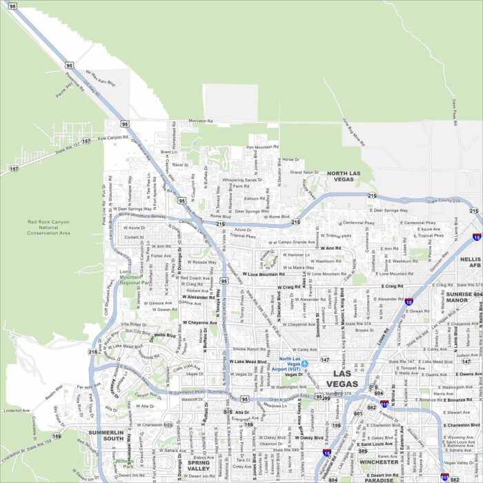
Sin City! Our map of Las Vegas shows the Strip cutting through the desert valley. Red Rock Canyon frames the city to the west.
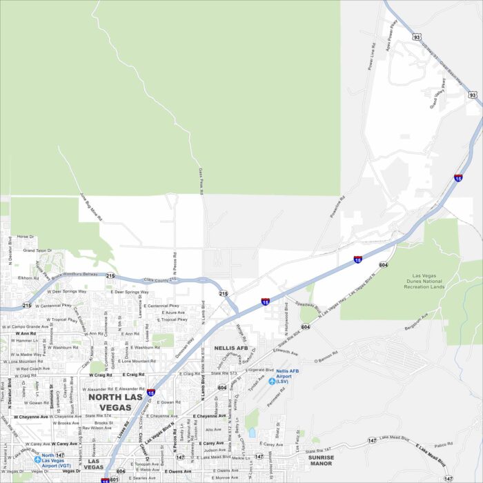
North Las Vegas spreads across the desert north of the Strip. This map shows residential neighborhoods, highways, and nearby airports.
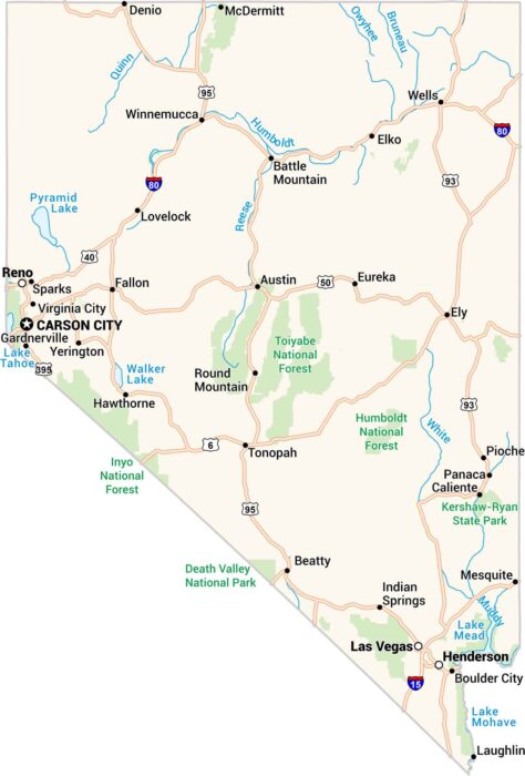
Our map of Nevada shows a land of sharp contrasts. Deserts stretch endlessly. Then, sudden bursts of green appear around Reno and Las Vegas.
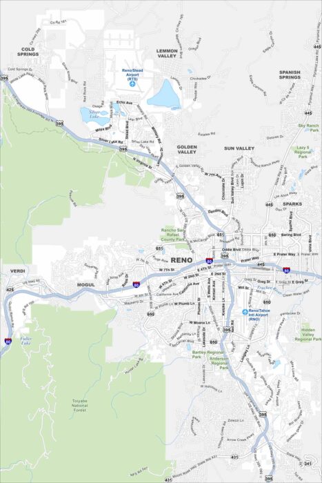
Reno is known as “The Biggest Little City in the World”. Our map lays out the downtown core and main highways leading in and out.
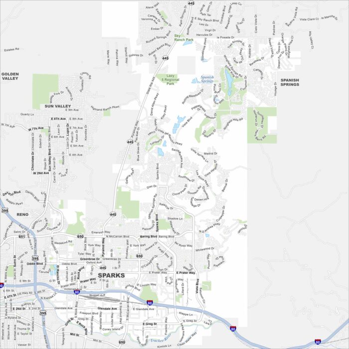
Sparks is right next to Reno, with its own busy downtown and marina. Our map shows you around neighborhoods, parks, and nearby highways.