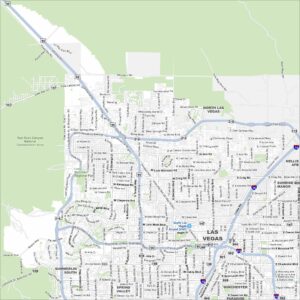
Downtown Las Vegas Map
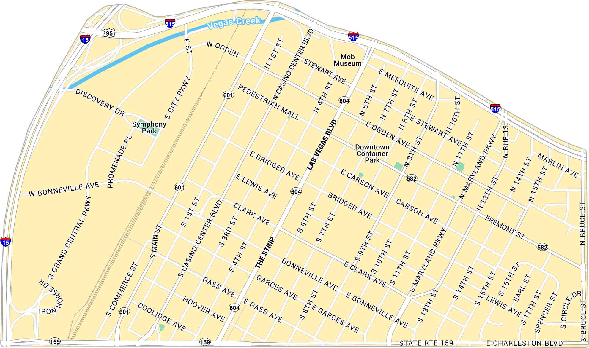
Get to know Downtown Las Vegas with our map that shows the Strip and Fremont Street. It includes the main roads, parks and highways.
Map Information
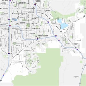
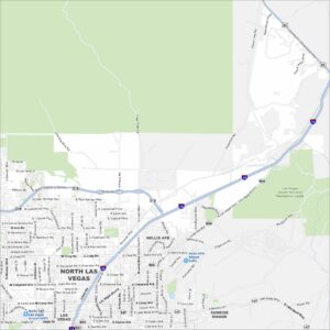
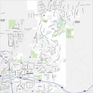
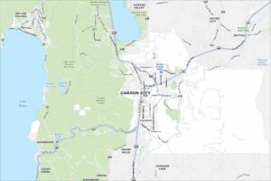
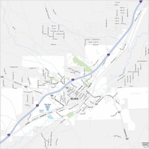
Las Vegas Neighborhood Maps
See our neighborhood maps for a closer look of the city.
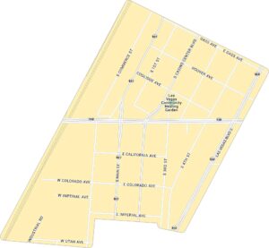

On the Map
Interstates/Highways: I-15, I-515, US Hwy 95, State Rte 159, State Rte 601, State Rte 604, State Rte 582 Major Roads: Las Vegas Blvd, Main St, Casino Center Blvd, Maryland Pkwy, Charleston Blvd, Bonneville Ave, Grand Central Pkwy, City Pkwy, Stewart Ave, Ogden Ave, Fremont St, Carson Ave, Bridger Ave, Lewis Ave, Clark Ave, Gass Ave, Garces Ave, Hoover Ave, 4th St, 15th St Major Rivers: Vegas Creek Parks: Symphony Park, Downtown Container Park Landmarks: The StripCity Maps of Nevada
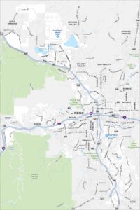
Explore cities in Nevada from desert to mountains