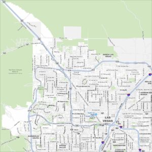
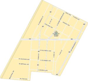
Arts District Map, Las Vegas

This road map of the Arts District cuts right through downtown Las Vegas. The area has a raw, creative edge that feels far from the Strip.
Map Information
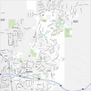
Las Vegas Neighborhood Maps
See our neighborhood maps for a closer look of the city.
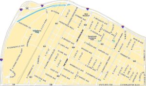
On the Map
Interstates/Highways: State Rte 159, State Rte 601, State Rte 604 Major Roads: Las Vegas Blvd S, Casino Center Blvd, Main St, Commerce St, Industrial Rd, 4th St, 3rd St, 1st St, Gass Ave, Hoover Ave, Coolidge Ave, California Ave, Colorado Ave, Imperial Ave, Utah Ave Parks: Las Vegas Community Healing GardenCity Maps of Nevada
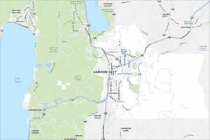
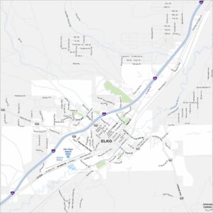
Explore cities in Nevada from desert to mountains