Mississippi Zip Code Map
What happens to zip codes in a mostly rural state? Our Mississippi zip code map highlights how much ground a single postal area can cover.
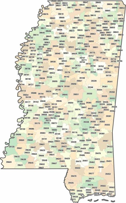
What happens to zip codes in a mostly rural state? Our Mississippi zip code map highlights how much ground a single postal area can cover.

Our map shows fairly evenly sized counties covering the state of Mississippi. Cities tend to follow the Mississippi River and corridors.
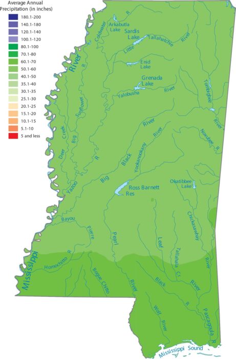
Mississippi is one of the wettest states because of its location along the Gulf Coast. Our precipitation map of Mississippi shows wetness.
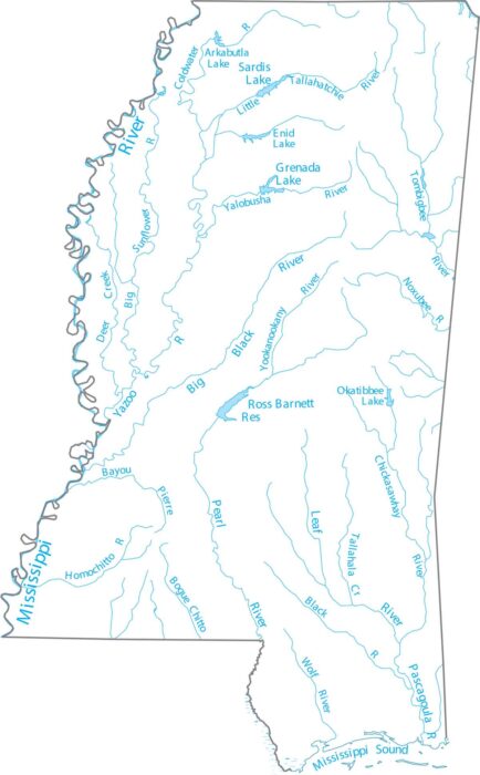
Mississippi is anchored by the Mississippi River along its western border. Our map highlights the Mississippi River and interior streams.
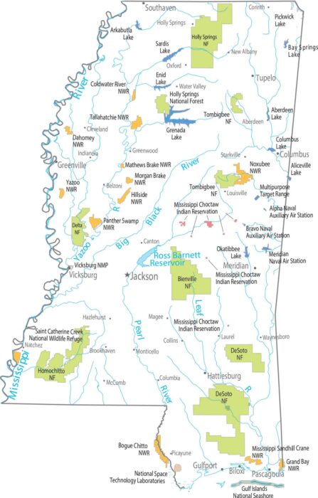
Our map shows forest land in small, broken pieces. Forests include Delta, Bienville, Homochitto, Tombigbee, and Holly Springs.
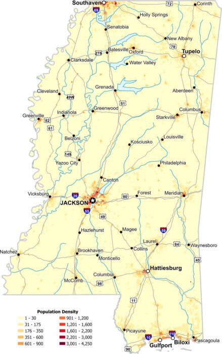
In Mississippi, population density increases near river corridors and major cities. Our map shows wide rural stretches with less population.
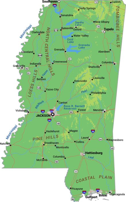
Our physical map of Mississippi displays rivers, lowlands, and coastline. Mississippi is delta and floodplain from top to bottom.
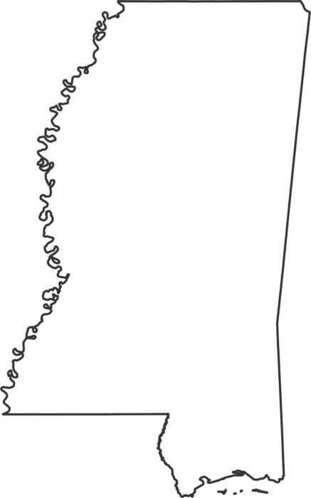
Get familiar with the shape of Mississippi with our outline map. The Mississippi River follows the western edge and the rest is straight.
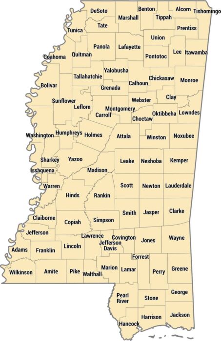
Our Mississippi county map shows 82 counties shaped by rivers and delta flatlands. The Gulf Coast counties down south have beaches.
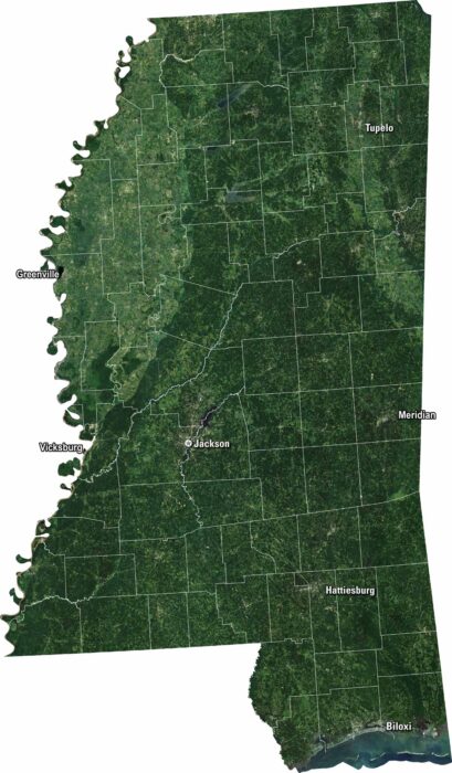
Our Mississippi satellite map shows its wide rivers and green farmland. Jackson is the capital here and really stands out on the map.
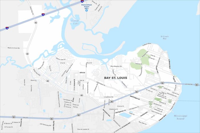
Step into Bay St. Louis on the Gulf Coast. Find sandy beaches along the coast. Our map of Bay St. Louis highlights the shoreline and roads.
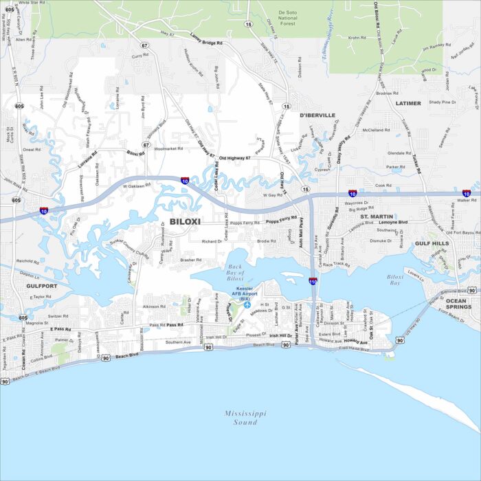
Biloxi is a Gulf Coast city with beaches and a deep maritime history. Our map highlights these features, including its roads/highways.
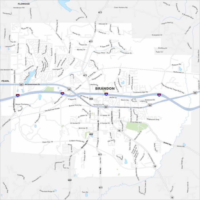
Brandon is east of Jackson with a small-town feel. Take a look at it on our map with neighborhoods spread among trees and lakes.
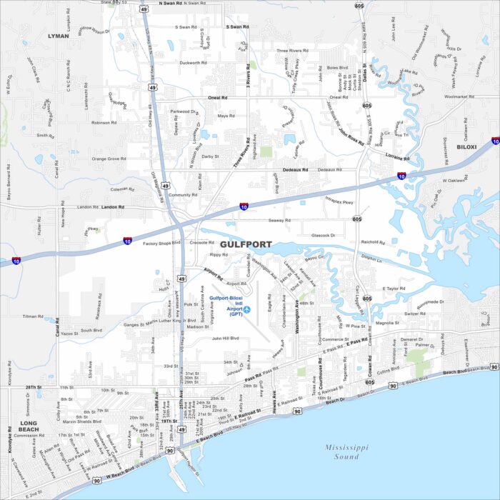
Our map of Gulfport highlights its long stretch along the Gulf Coast. The port and beaches stand out clearly.
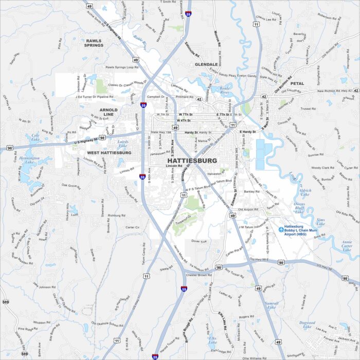
Hattiesburg is in southern Mississippi, not far from the Pine Belt forests. Highways converge here, making it a regional hub.