Map of Indianola, Iowa
Our map of Indianola shows its highways, roads, streams and green spaces. Its position is south of Des Moines.
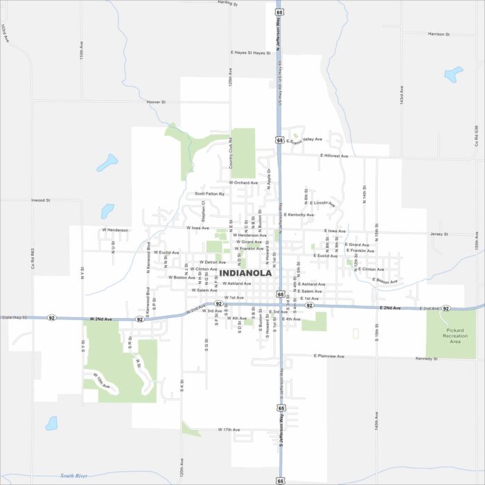
Our map of Indianola shows its highways, roads, streams and green spaces. Its position is south of Des Moines.
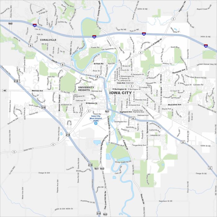
Check out our map of Iowa City with the Iowa River running through its core. Neighborhoods and cultural spots surround the river.
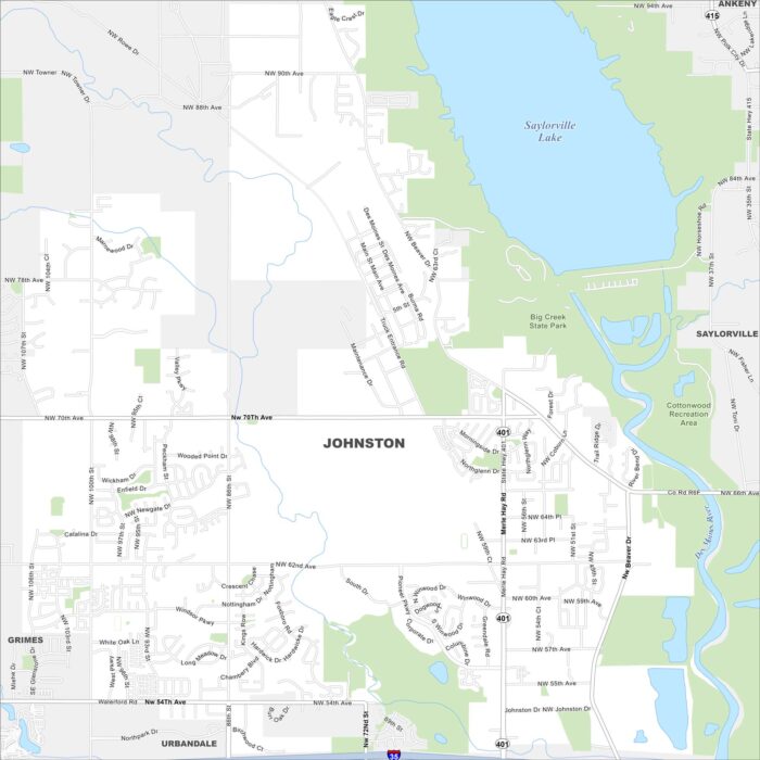
Johnston is a northern suburb of Des Moines. Our map highlights Saylorville Lake and the Des Moines River nearby.
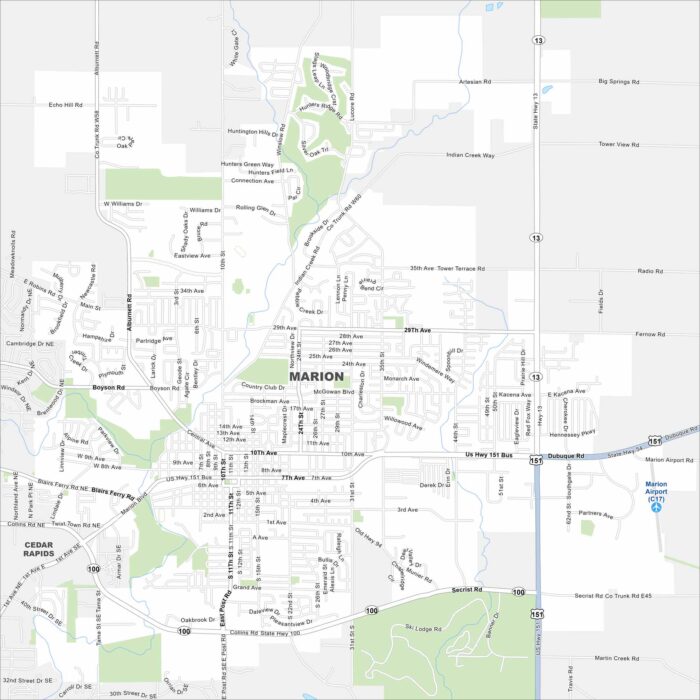
Check out Marion on our map. It’s situated northeast of Cedar Rapids. Highways cut across neighborhoods and parks within the city.
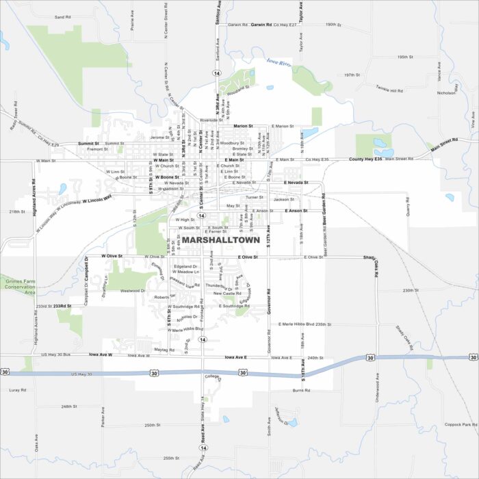
Our map of Marshalltown shows its spot in central Iowa. The downtown core, parks, and nearby farmland frame the city’s layout.
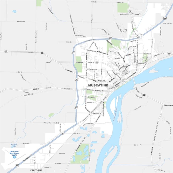
Muscatine sits on the Mississippi River in eastern Iowa. Our map highlights its riverfront, downtown streets, and surrounding parks.
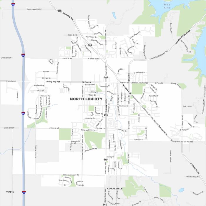
Our map of North Liberty shows a growing community between Iowa City and Cedar Rapids. Neighborhoods and parks fill much of the layout.
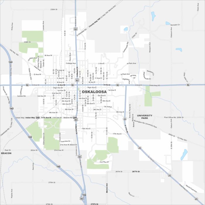
Here’s Oskaloosa in southeastern Iowa. This map highlights a central square with neighborhoods going outward.
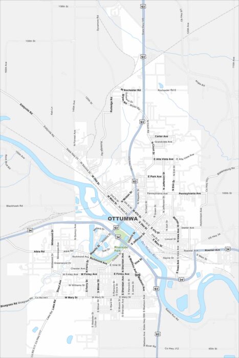
Ottumwa sits along the Des Moines River in southeastern Iowa. Our map shows bridges, downtown streets, and surrounding neighborhoods.
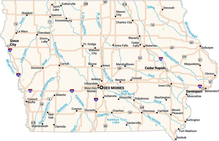
Our Iowa map shows its lakes, rivers, highways, cities and quiet towns. You’ll see Des Moines at the center of it all.
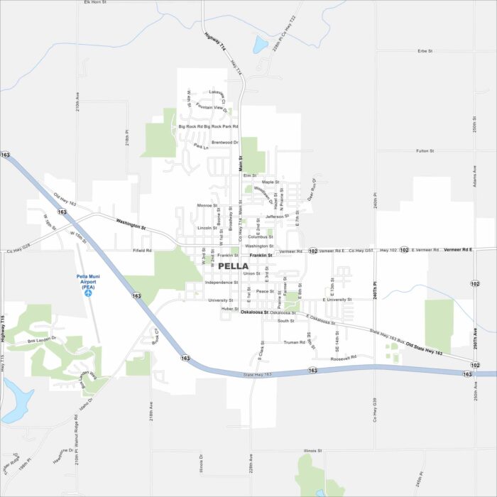
Pella was founded by Dutch immigrants and still celebrates that heritage. Check out our map to see its central square and roads.
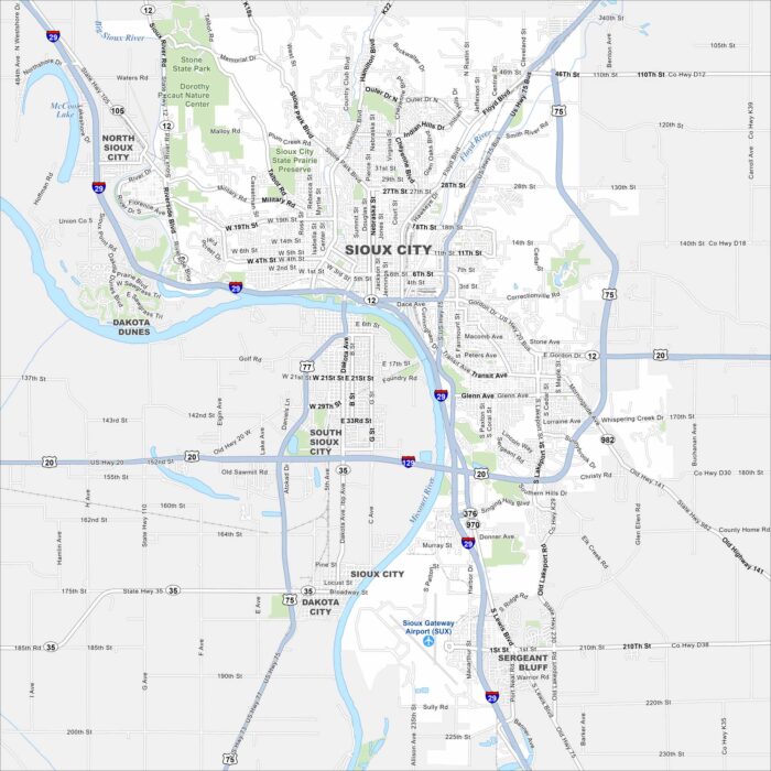
This street map of Sioux City highlights its location on the Missouri River. The city is a regional hub with parks, culture, and history.
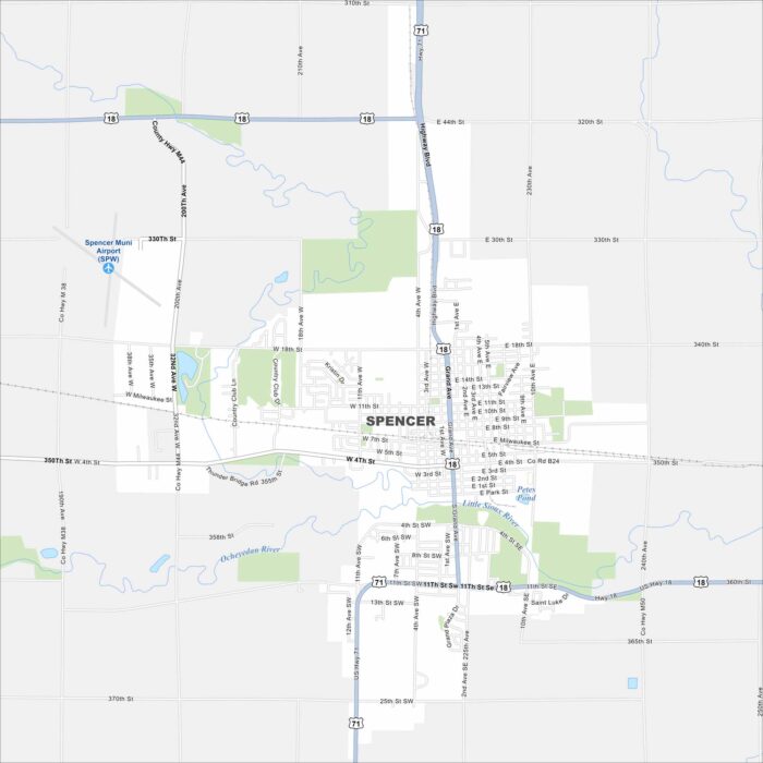
Our map of Spencer shows this Clay County hub in northwest Iowa. The town is known for the Clay County Fair and a welcoming small-town feel.
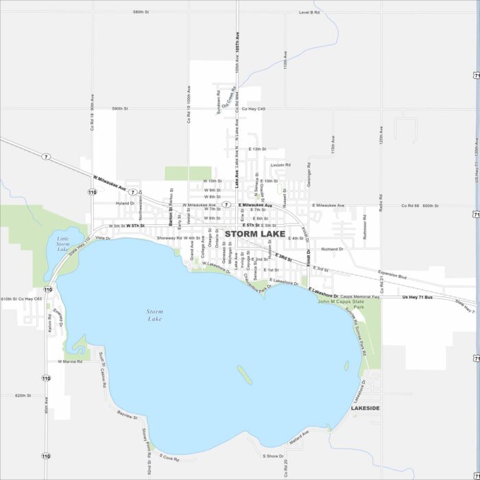
Our map of Storm Lake shows the town centered around its namesake lake. Parks, schools, and neighborhoods all gather near the water.
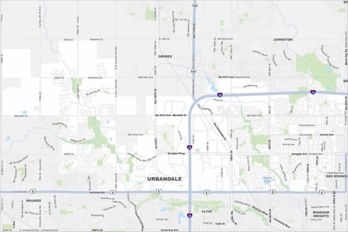
See how Urbandale is connected to the Des Moines metro. Our map highlights streams, parks, and a growing suburban community.