Map of Iowa
Our Iowa map shows its lakes, rivers, highways, cities and quiet towns. You’ll see Des Moines at the center of it all.
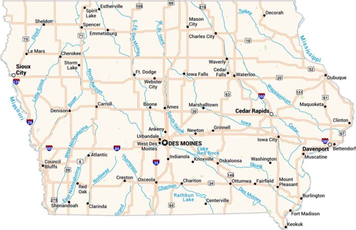
Our Iowa map shows its lakes, rivers, highways, cities and quiet towns. You’ll see Des Moines at the center of it all.
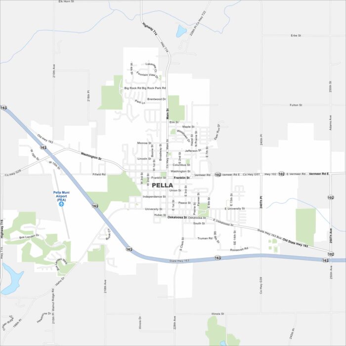
Pella was founded by Dutch immigrants and still celebrates that heritage. Check out our map to see its central square and roads.
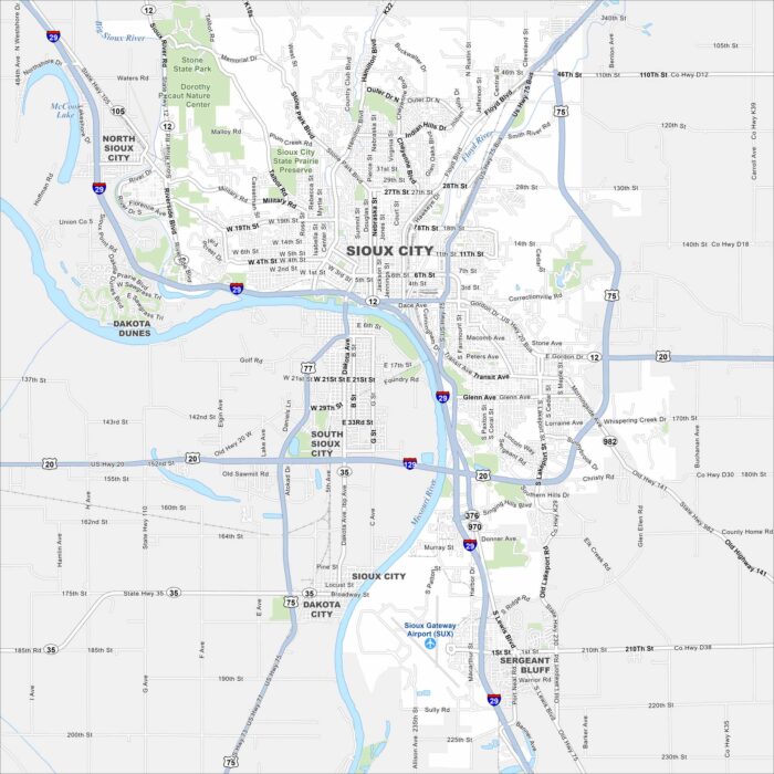
This street map of Sioux City highlights its location on the Missouri River. The city is a regional hub with parks, culture, and history.
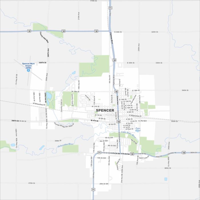
Our map of Spencer shows this Clay County hub in northwest Iowa. The town is known for the Clay County Fair and a welcoming small-town feel.
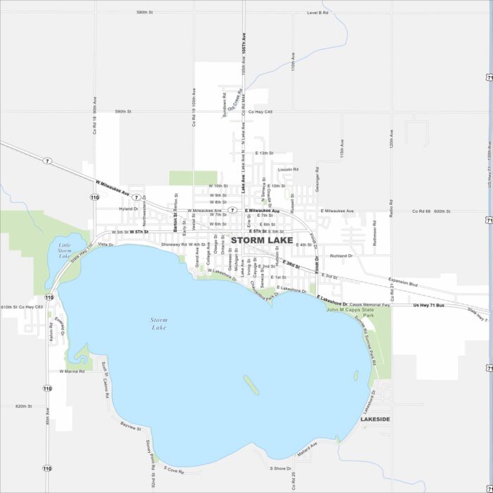
Our map of Storm Lake shows the town centered around its namesake lake. Parks, schools, and neighborhoods all gather near the water.
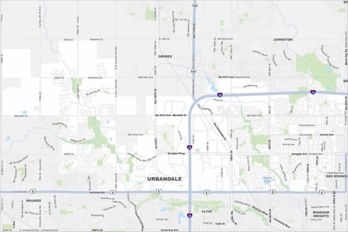
See how Urbandale is connected to the Des Moines metro. Our map highlights streams, parks, and a growing suburban community.
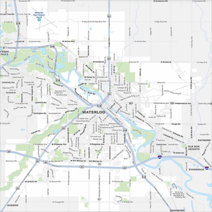
Our map of Waterloo shows you around the Cedar Valley. It’s a city with industrial roots, museums, and riverfront parks.
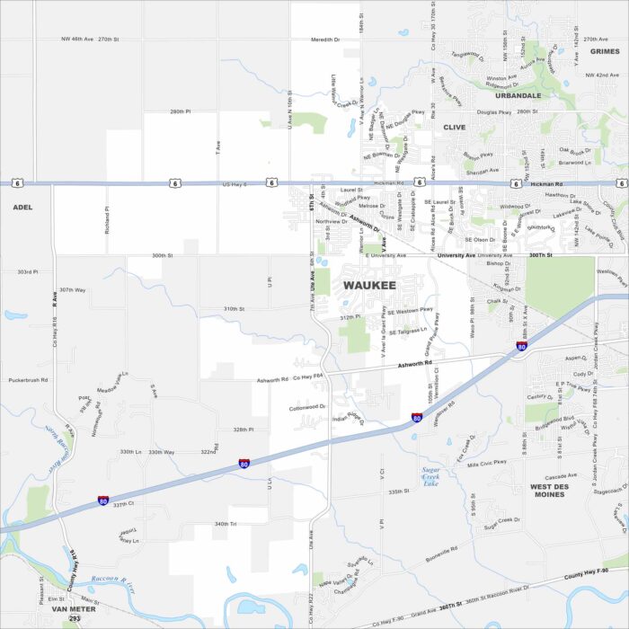
Looking to explore Waukee, Iowa? This fast-growing Des Moines suburb features new neighborhoods, trails, and a lively town center.
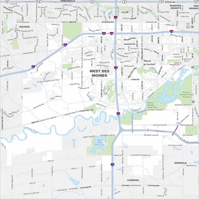
Take a look at West Des Moines on our road map. It’s a thriving suburb with trails, lakes, and a busy retail district.