Map of Stockton, California
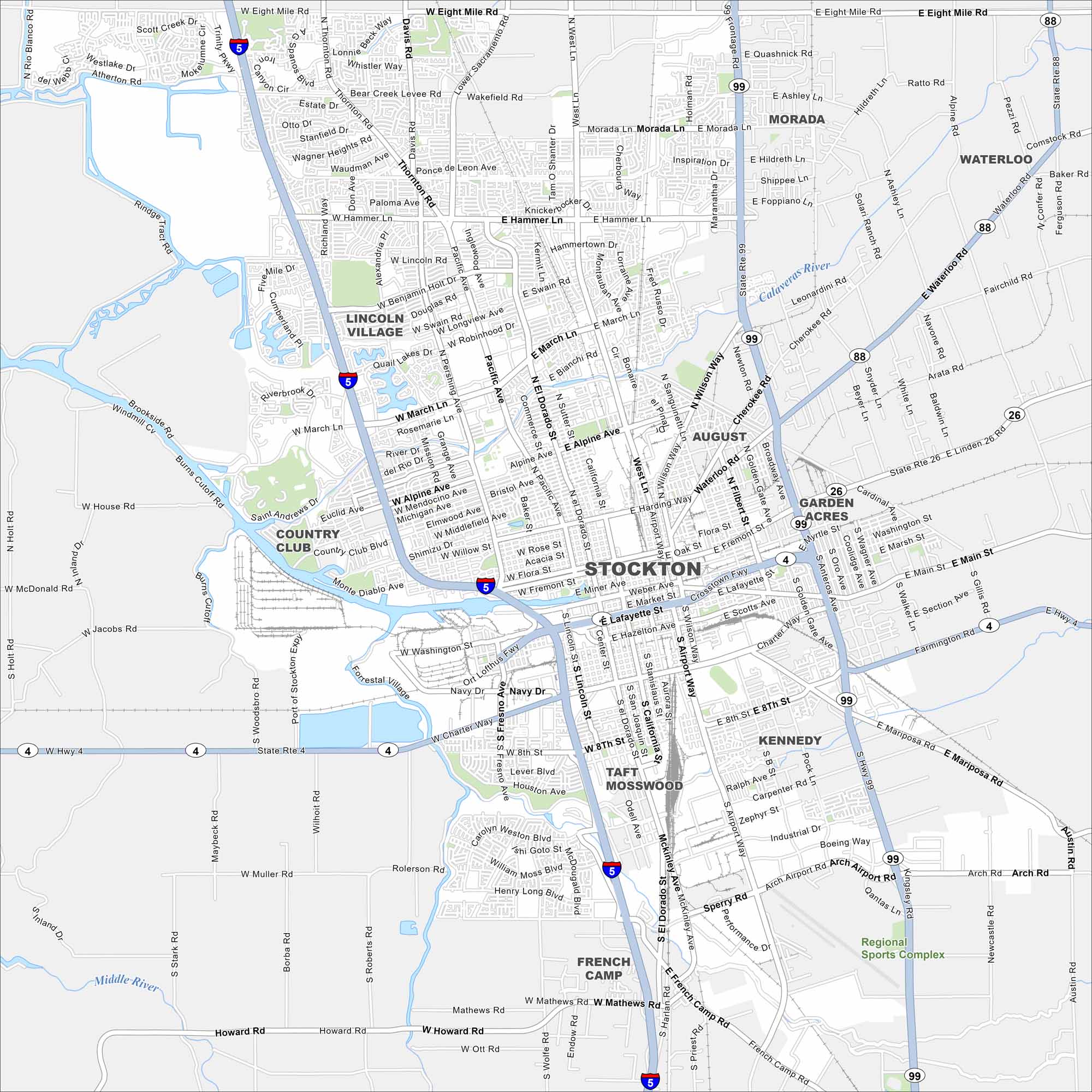
Our map of Stockton highlights the city’s waterfront and busy downtown. It’s an easy way to find your way around this city in the San Joaquin Valley.
California State Maps
Explore California with our state maps


Map Information
On the Map
Interstates/Highways: I-5, State Rte 99, State Rte 4, State Rte 26, State Rte 88 Major Roads: West Lane, El Dorado St, Airport Way, Pacific Ave, Hammer Lane, March Lane, Eight Mile Rd, Main St, Charter Way, Arch Airport Rd, Waterloo Rd, Alpine Ave, Pershing Ave, Thornton Rd, Benjamin Holt Dr, Fremont St, Miner Ave, 8th St Major Rivers: Calaveras River Nearby Communities: Lincoln Village, Morada, Waterloo, Garden Acres, Kennedy, French CampCalifornia City Maps
Here are detailed maps of California


