Map of Stevens Point, Wisconsin
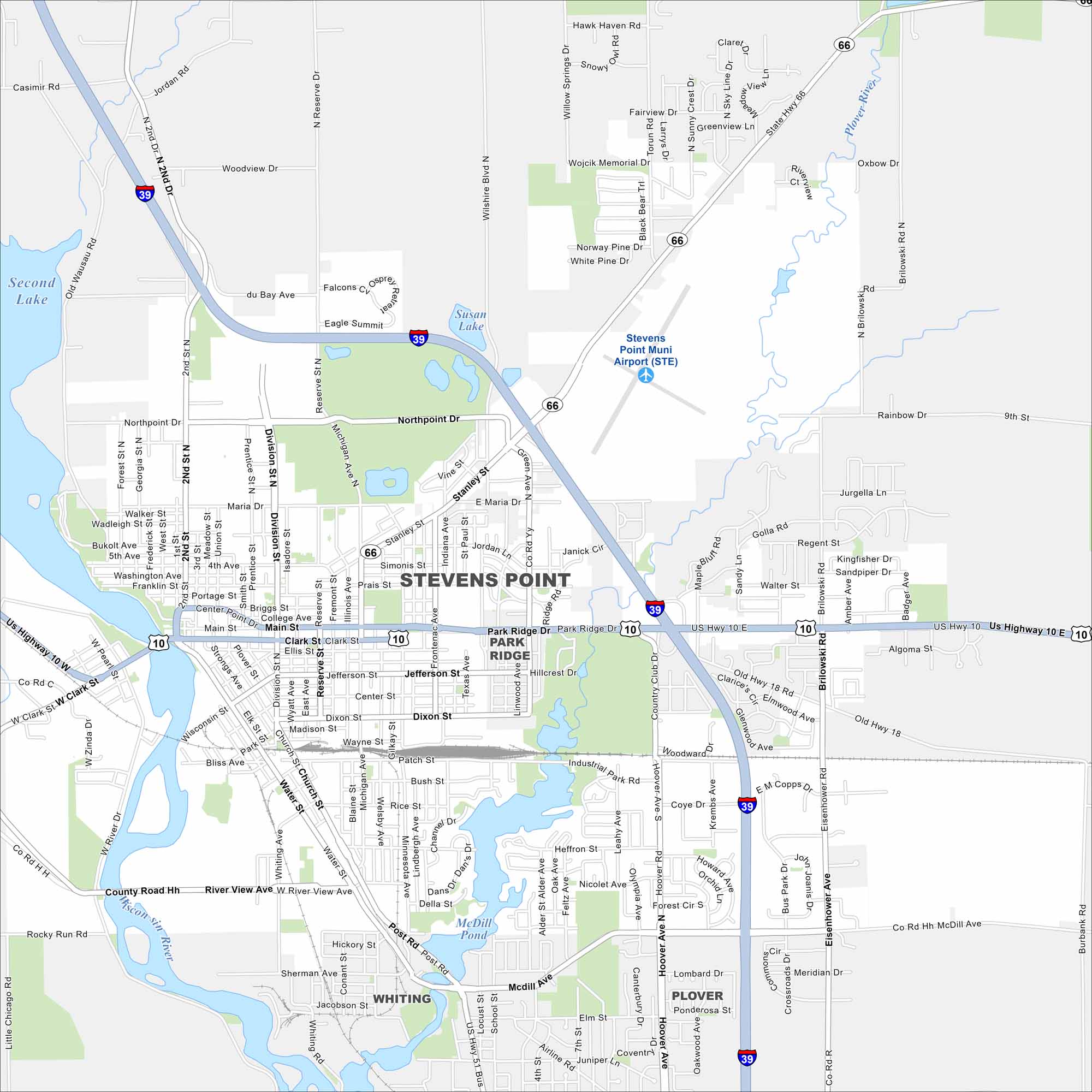
Here’s our map of Stevens Point along the Wisconsin River. The Wisconsin River loops the city with McDill Pond and Second Lake forming major reservoirs.
Map Information
On the Map
Interstates/Highways: I-39, US Hwy 10, State Rte 66 Major Roads: Main St, Division St, Michigan Ave, Northpoint Dr, Church St, Hoover Ave, Water St, Post Rd, McDill Ave, Clark St, Brilowski Rd, Patch St, Maria Dr, Stanley St, Minnesota Ave, West St, Second St, Third St, Fourth St, Fifth St Airports: Stevens Point Muni Airport (STE) Lakes and Reservoirs: Second Lake, Susan Lake, McDill Pond Major Rivers: Wisconsin River, Plover River Nearby Communities: Park Ridge, Whiting, PloverWisconsin State Maps
Discover maps of the Badger State.


City Maps of Wisconsin
See our Wisconsin maps designed for clarity.


