Map of South Pasadena, California
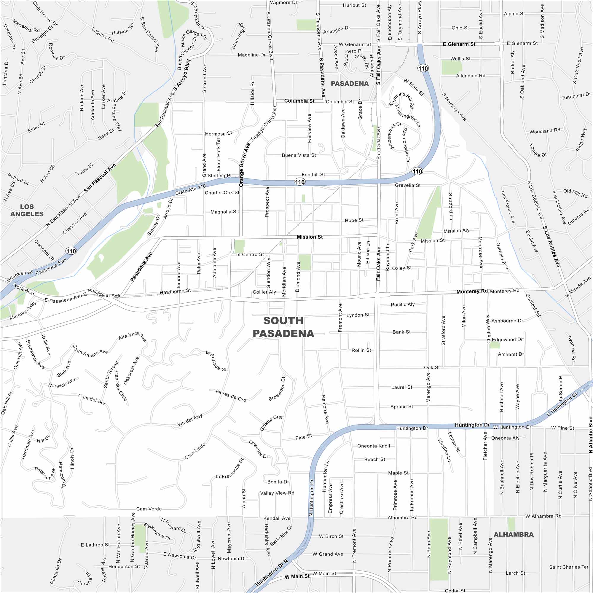
This South Pasadena map helps you explore its streets and historic areas. It’s a quiet spot just minutes from downtown Los Angeles.
California State Maps
Explore California with our state maps


Map Information
On the Map
Interstates/Highways: State Rte 110 Major Roads: Huntington Dr, Fair Oaks Ave, Mission St, Orange Grove Ave, Monterey Rd, Pasadena Ave, Columbia St, Glenarm St, San Pasqual Ave, Fremont Ave, Marengo Ave, Via Del Rey, Alhambra Rd, Oak St, State St Nearby Communities: Los Angeles, Pasadena, AlhambraCalifornia City Maps
Here are detailed maps of California


