Map of South Milwaukee, Wisconsin
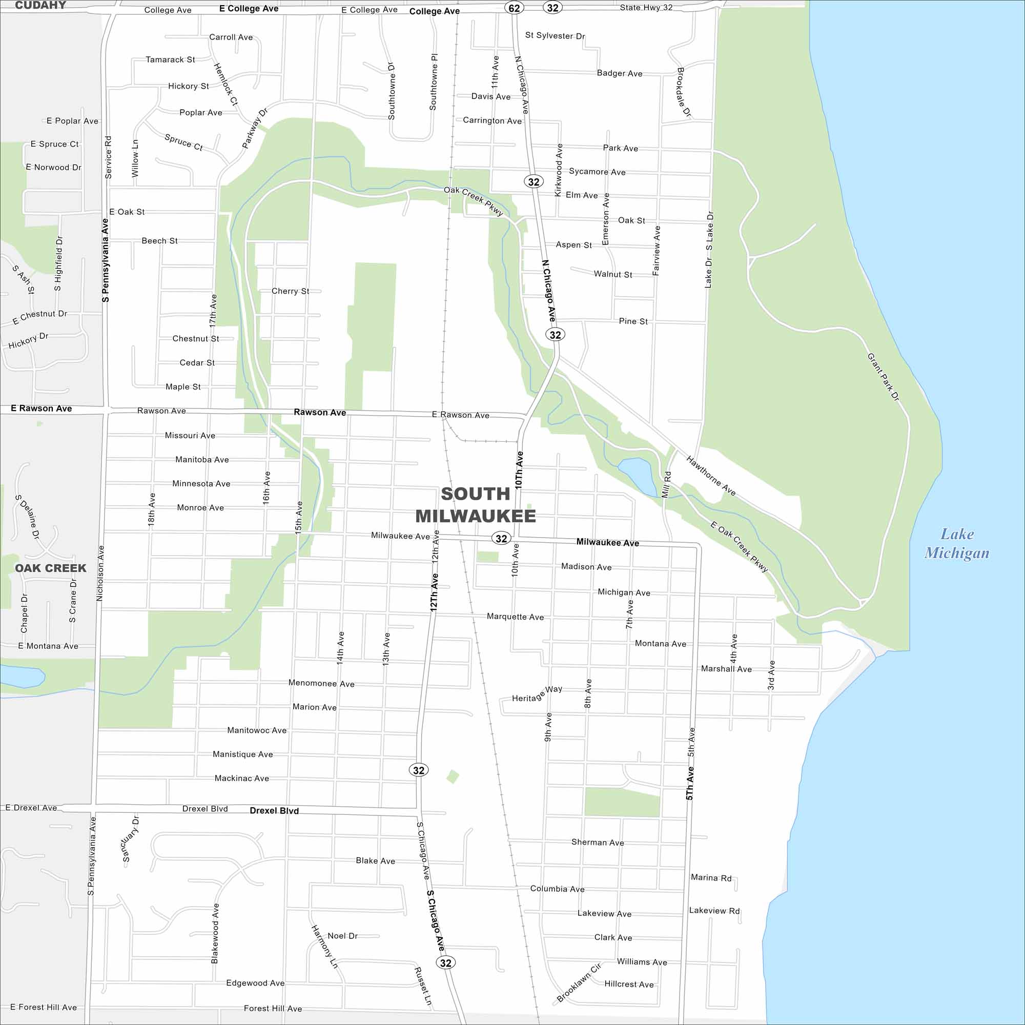
Our South Milwaukee map shows a city along Lake Michigan. It’s home to Grant Park, local events, and a proud community feel.
Map Information
On the Map
Interstates/Highways: State Rte 32, State Rte 62 Major Roads: Rawson Ave, Chicago Ave, Drexel Blvd, College Ave, Milwaukee Ave, Lake Dr, 15th Ave, 10th Ave, 5th Ave, Pennsylvania Ave, Forest Hill Ave, Grant Park Dr, Oak Creek Pkwy, Hawthorne Ave, Marquette Ave, Madison Ave, Manitoba Ave, Michigan Ave, Cypress Ave, Park Ave Lakes and Reservoirs: Lake Michigan Nearby Communities: Cudahy, Oak CreekWisconsin State Maps
Discover maps of the Badger State.


City Maps of Wisconsin
See our Wisconsin maps designed for clarity.


