Map of South Lake Tahoe, California
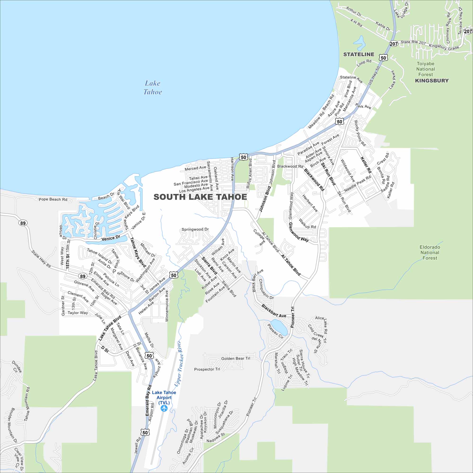
Use our South Lake Tahoe map to explore the town on the Nevada border. Outdoor adventures, ski resorts, and lake views draw people year-round. But the main feature here is, of course, Lake Tahoe in the north.
California State Maps
Explore California with our state maps


Map Information
On the Map
Interstates/Highways: US Hwy 50, State Rte 89, State Rte 207 Major Roads: Lake Tahoe Blvd, Emerald Bay Rd, Pioneer Trl, Ski Run Blvd, Al Tahoe Blvd, Blackwood Rd, Johnson Blvd, Venice Dr, Tahoe Keys Blvd, Keys Blvd, Keller Rd, Saddle Rd, Kingsbury Grade, Meadow Rd, Beach Rd Airports: Lake Tahoe Airport (TVL) Lakes and Reservoirs: Lake Tahoe Major Rivers: Upper Truckee River Parks and Preserves: Toiyabe National Forest, Eldorado National Forest Nearby Communities: Stateline, KingsburyCalifornia City Maps
Here are detailed maps of California


