Map of Smyrna, Tennessee
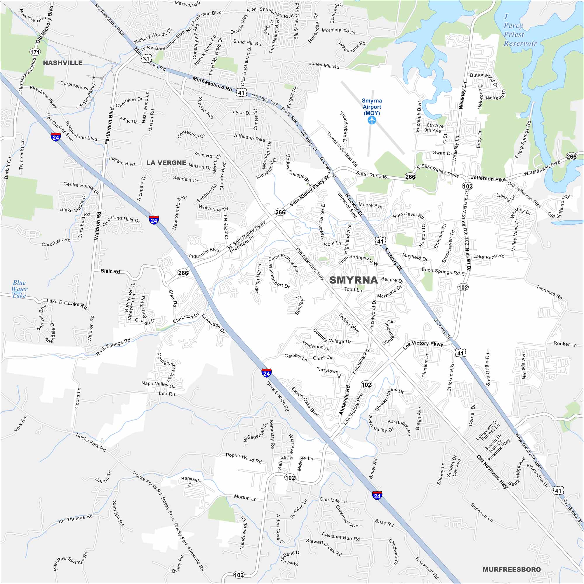
Need directions for Smyrna? Our map shows this community southeast of Nashville. This town has parks, schools, and a strong military presence nearby.
Map Information
On the Map
Interstates/Highways: I-24, US Hwy 41, US Hwy 70S, State Rte 1, State Rte 102, State Rte 171, State Rte 266 Major Roads: Sam Ridley Pkwy, Murfreesboro Rd, Old Nashville Hwy, Lowry St, Jefferson Pike, Nissan Dr, Almaville Rd, Rocky Fork Rd, Lee Victory Pkwy, Weakley Ln, Enon Springs Rd, Sharp Springs Rd, Waldron Rd, Blair Rd, Industrial Blvd, Threet Industrial Rd, One Mile Ln, Seven Oaks Blvd, Potomac Pl, Threet Industrial Rd Airports: Smyrna Airport (MQY) Lakes and Reservoirs: Percy Priest Reservoir, Blue Water Lake Nearby Communities: La Vergne, Murfreesboro, NashvilleTennessee State Maps
Here are our state maps of Tennessee.


City Maps of Tennessee
Explore our Tennessee map collection


