Map of Sierra Madre, California
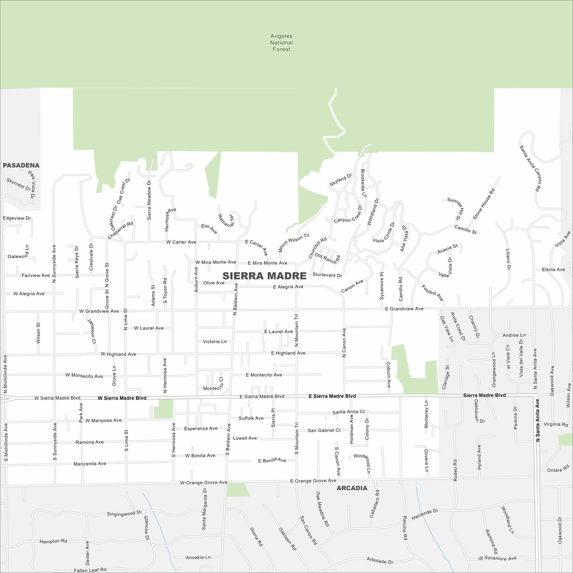
Need directions for Sierra Madre, California? Our map shows this foothill town near Pasadena, with its streets and mountain views.
California State Maps
Explore California with our state maps


Map Information
On the Map
Major Roads: Sierra Madre Blvd, Michillinda Ave, Baldwin Ave, Santa Anita Ave, Orange Grove Ave, Grandview Ave, Highland Ave, Montecito Ave, Lima St, Hermosa Ave, Mountain Trl, Carter Ave, Alegria Ave, Bonita Ave, Miramonte Ave, Laurel Ave, Sunnyside Ave, Canon Ave, Lima St Parks and Preserves: Angeles National Forest Nearby Communities: Pasadena, ArcadiaCalifornia City Maps
Here are detailed maps of California


