Map of Sheboygan, Wisconsin
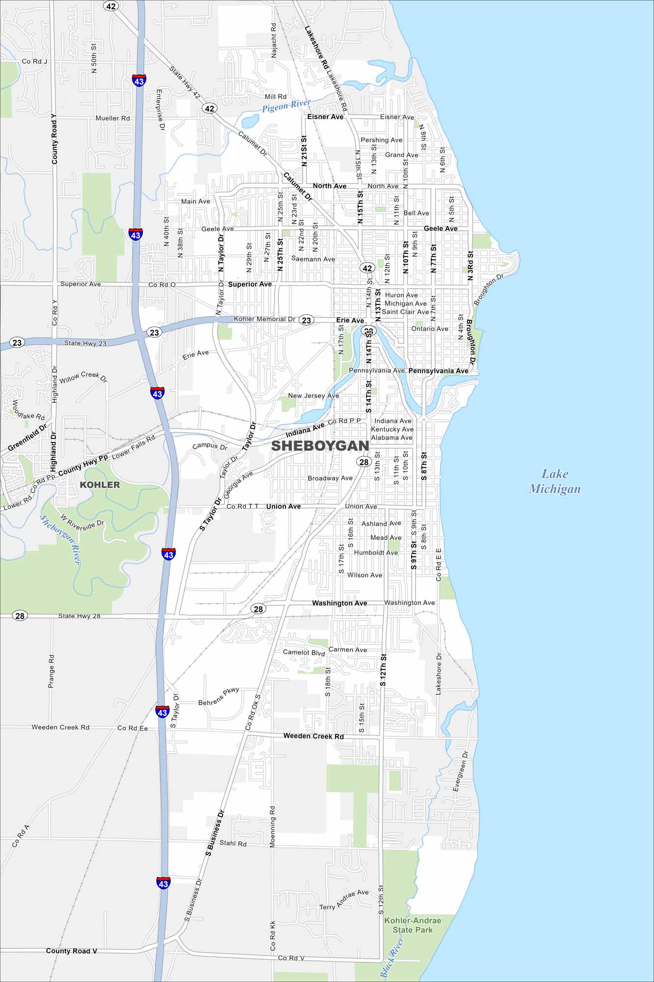
As you can see in our map, Sheboygan is all about lakefront living. Yep, Lake Michigan occupies the eastern part of the city. Our map shows the highways, roads and neighborhoods that give this city its charm.
Map Information
On the Map
Interstates/Highways: I-43, State Rte 23, State Rte 28, State Rte 42 Major Roads: Main Ave, Taylor Dr, Washington Ave, Business Dr, Union Ave, Broadway Ave, Indiana Ave, Calumet Dr, North Ave, Erie Ave, Superior Ave, Geele Ave, Pennsylvania Ave, 14th St, 15th St, 8th St, Lakeshore Dr, Weeden Creek Rd, Stahl Rd, South Ave Lakes and Reservoirs: Lake Michigan Major Rivers: Sheboygan River, Pigeon River, Black River Parks and Preserves: Kohler-Andrae State Park Nearby Communities: KohlerWisconsin State Maps
Discover maps of the Badger State.


City Maps of Wisconsin
See our Wisconsin maps designed for clarity.


