Map of Shasta Lake, California
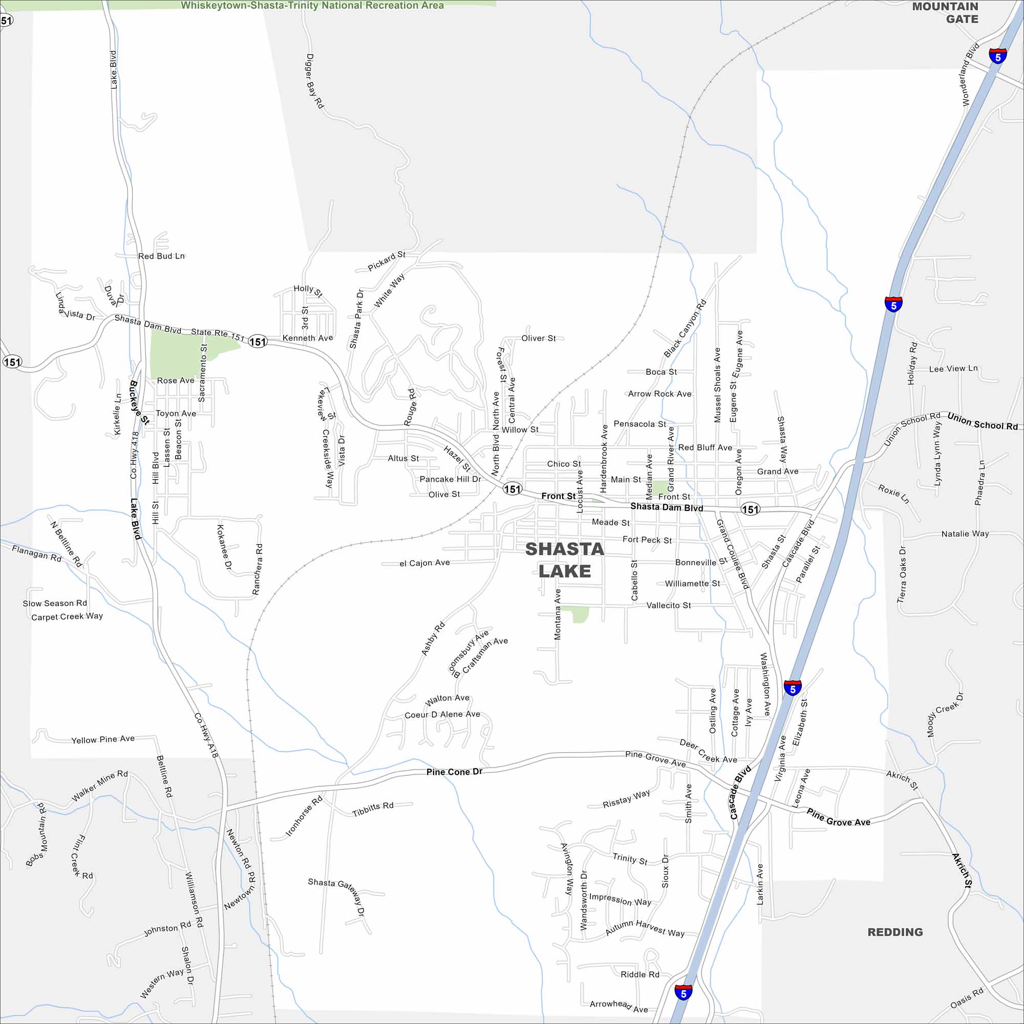
Here’s a map of the City of Shasta Lake. Surrounded by mountains and water, it’s the perfect base for boating, fishing, and exploring Northern California. Shasta Lake is just to the north too.
California State Maps
Explore California with our state maps


Map Information
On the Map
Interstates/Highways: I-5, State Rte 151 Major Roads: Shasta Dam Blvd, Cascade Blvd, Lake Blvd, Ashby Rd, Montana Ave, Main St, Front St, Union School Rd, Pine Grove Ave, Vallecito St, Grand Ave, Sacramento St, Median Ave, Red Bluff Ave, Oregon Ave, Washington Ave, Elizabeth St, Flower St Parks and Preserves: Whiskeytown-Shasta-Trinity National Recreation Area Nearby Communities: Mountain Gate, ReddingCalifornia City Maps
Here are detailed maps of California


